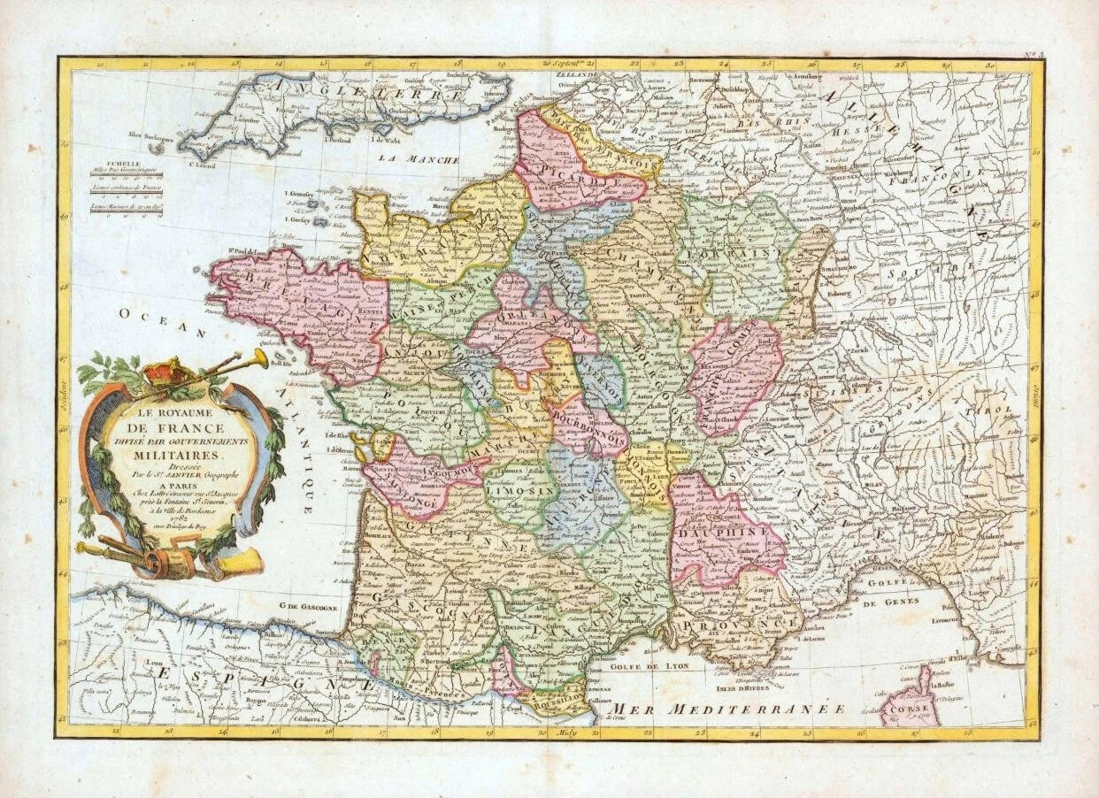
1782 - A fine and very rare original antique map titled: ' LA ROYAUME DE FRANCE DIVISE PAR GOUVERNEMENTS MILITAIRES '
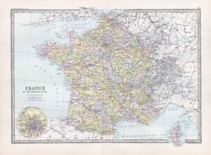
A highly detailed and decorative map of the France showing the Military Departments colour coded according to region. France, at this time was under the reign of Louis XVI, the last Ancien Regime French King before the French Revolution.
Overall size of map is 48cm x 35cm with large margins, perfect for mounting and framing.
Excellent overall condition with hand colouring and the centrefold, as issued. Blank on verso.
Publisher
Jean Lattre (fl. 1743 - 1793) was a Paris based bookseller, engraver, and map publisher active in the mid to late 18th century. Lattre published a large corpus of maps, globes, and atlases in conjunction with a number of other important French cartographic figures, including Janvier, Zannoni, Bonne and Delamarche. He is also known to have worked with other European cartographers such as William Faden of London and the Italian cartographer Santini. Map piracy and copyright violations were common in 18th century France. Paris court records indicate that Lattre brought charges against several other period map publishers, including fellow Frenchman Desnos and the Italian map engraver Zannoni, both of whom he accused of copying his work. Lattre's offices and bookshop were located at 20 rue St. Jaques, Paris, France.
£130.00