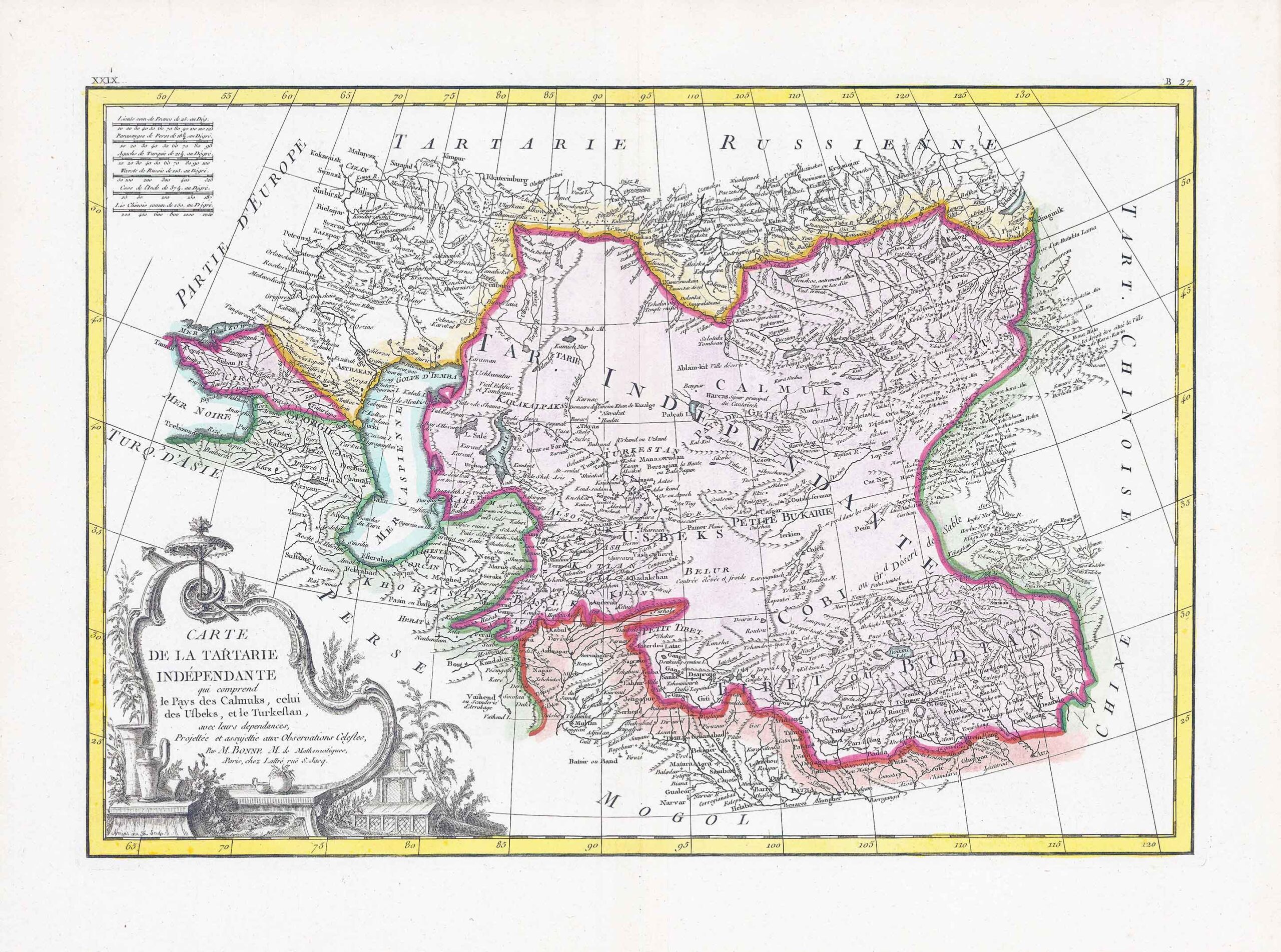
1781 - "CARTE DE LA TARTARIE INDEPENDANTE QUI COMPREND LE PAYS DE CALMUKS, CELUI DES USBEKS, ET LE TURKESTAN AVEC. LEURS DEPENDANCES"
A fine example of Rigobert Bonne's decorative map of Central Asia. Covers from the Black Sea south to China, north to Russia, and south to Persia and India. Includes the modern day nations of Kazakhstan, Uzbekistan, Turkmenistan, Georgia, armenia and Azerbaijan, with parts of adjacent Turkey, Saudi Arabia and Pakistan. Names numerous tribal areas, villages cities, deserts, Silk Route way stations and river systems. This area was original inhabited by Turkic and Mongol peoples of the Mongol Empire who are generally referred to as Tartars. This map was published in ATLAS MODERNE OU COLLECITON DE CARTES SUR TOUTES LES PARTIES DU GLOBE TERRESTRE by Jean Lattre.
A large decorative title cartouche in the lower left corner showing artifacts common to the region.
Size approximately 51cm x 39cm including margins.
Condition is excellent with central fold as issued.
£135.00