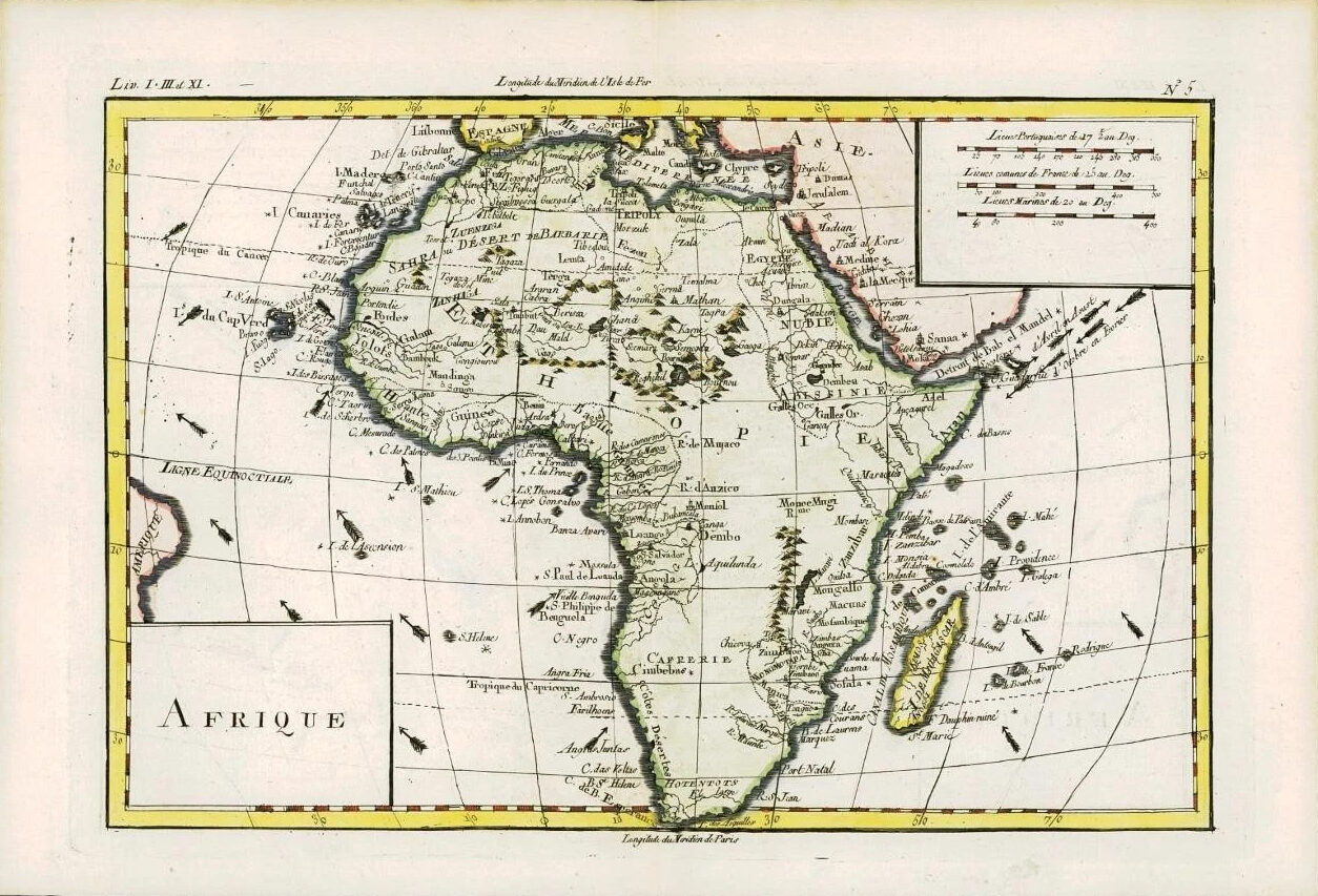
1780 - An original Antique Map by Rigobert Bonne & Guillaume Thomas Raynal titled: 'AFRIQUE'
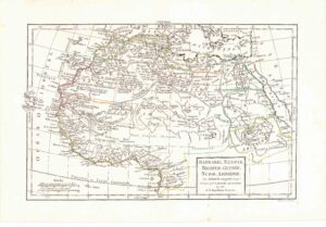
A fine example of Rigobert Bonne and G. Raynal's 1780 map of Africa. Highly detailed, showing towns, rivers, some topographical features, ocean currents, ports and political boundaries.
PROVENANCE: Drawn by R.Bonne for G.Raynal's "ATLAS DE TOUTES LES PARTIES CONNUES DU GLOBE TERRESTRE, DRESSE POUR l'HISTOIRE PHILOSOPHIQUE ET POLITIQUE DES ETABLISSEMENTS ET DU COMMERCE DES EUROPEENS DANS LES DEUX INDES"
Overall size of map is 37cm x 25cm.
£85.00