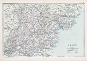
1777 "A PLAN OF COLCHESTER" A fine 1st Edition large scale original antique engraved map/plan and outlying parts of northeast Essex including Bures Hamlet, Nayland, East Bergholt, Stoke by Nayland published for "A map of the county of Essex from an actual survey taken in MDCCLXXII : LXXIII (1772-3) & MDCCLXXIV (1774)", by John Chapman & Peter André. Overall size approx 53.0 x 70.0cm, 20.75 x 27.5 inches with fine hand colouring.
£300.00