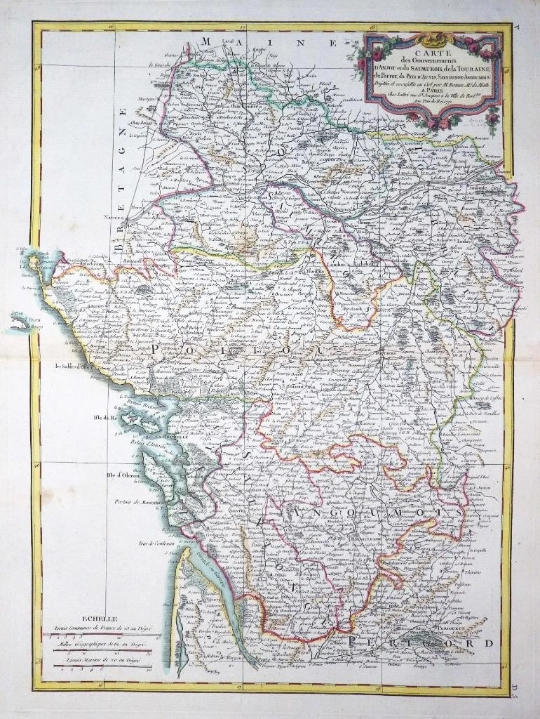
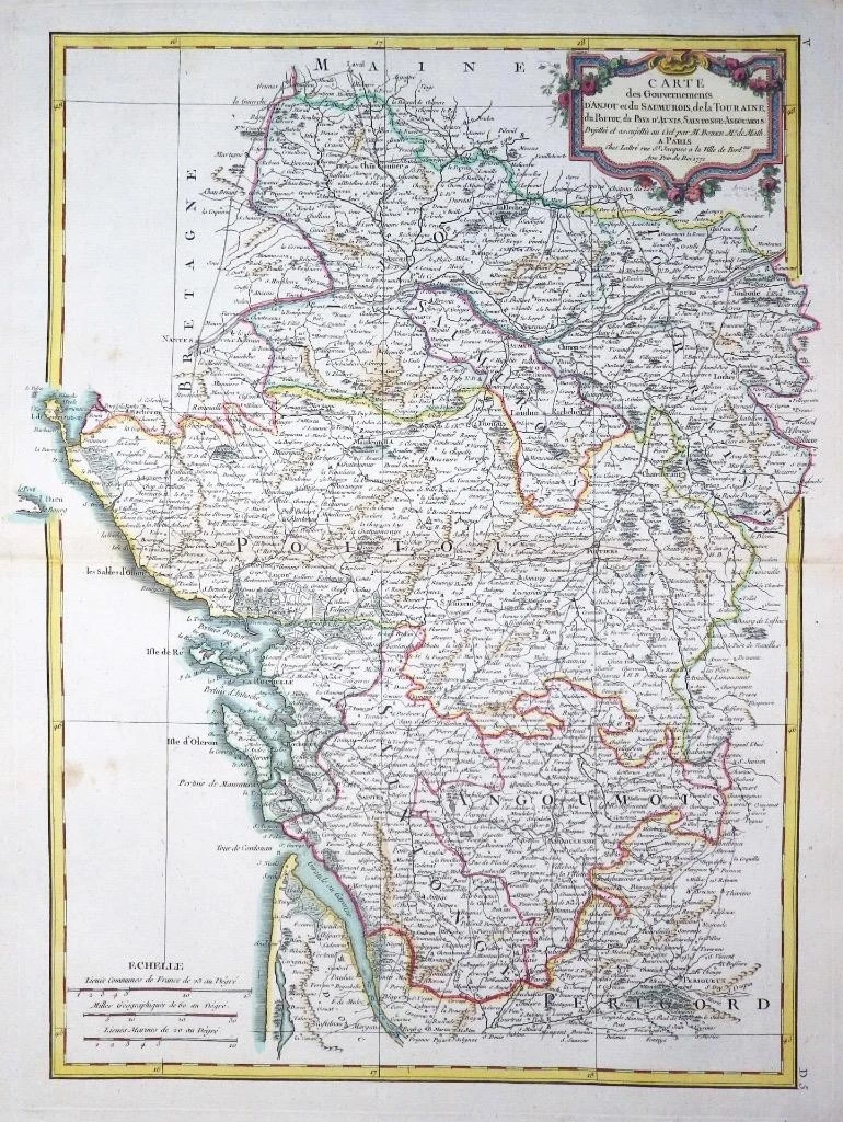
1771 - A fine engraved antique map titled: ' Carte du Gouvernments D'ANJOU et du SAUMUROIS, de la TOURAINE, de POITOC, du PAYS D'AUNIS, SAINTONGE-ANGOUMOIS '
Provenance: Taken from "Atlas Moderne ou collection de Cartes sur toutes les parties du Glove Terrestre" by Jean Lattre.
Overall size of the map is 51cm x 39cm with large margins.
Condition is excellent with original and later hand colour, with central fold as issued and blank on verso.
A beautiful example of Rigobert Bonne's decorative 1771 map of the French winemaking regions of Poitou, Touraine, Anjou, and Saumur. Covers the region in full from Maine to Perigord and from the Atlantic to Isle de France. This region, which hugs the Loire Valley, is famed for is beautiful Chateaux and for producing some of the world's finest wines. A large decorative title cartouche appears in the upper right quadrant.
£80.00