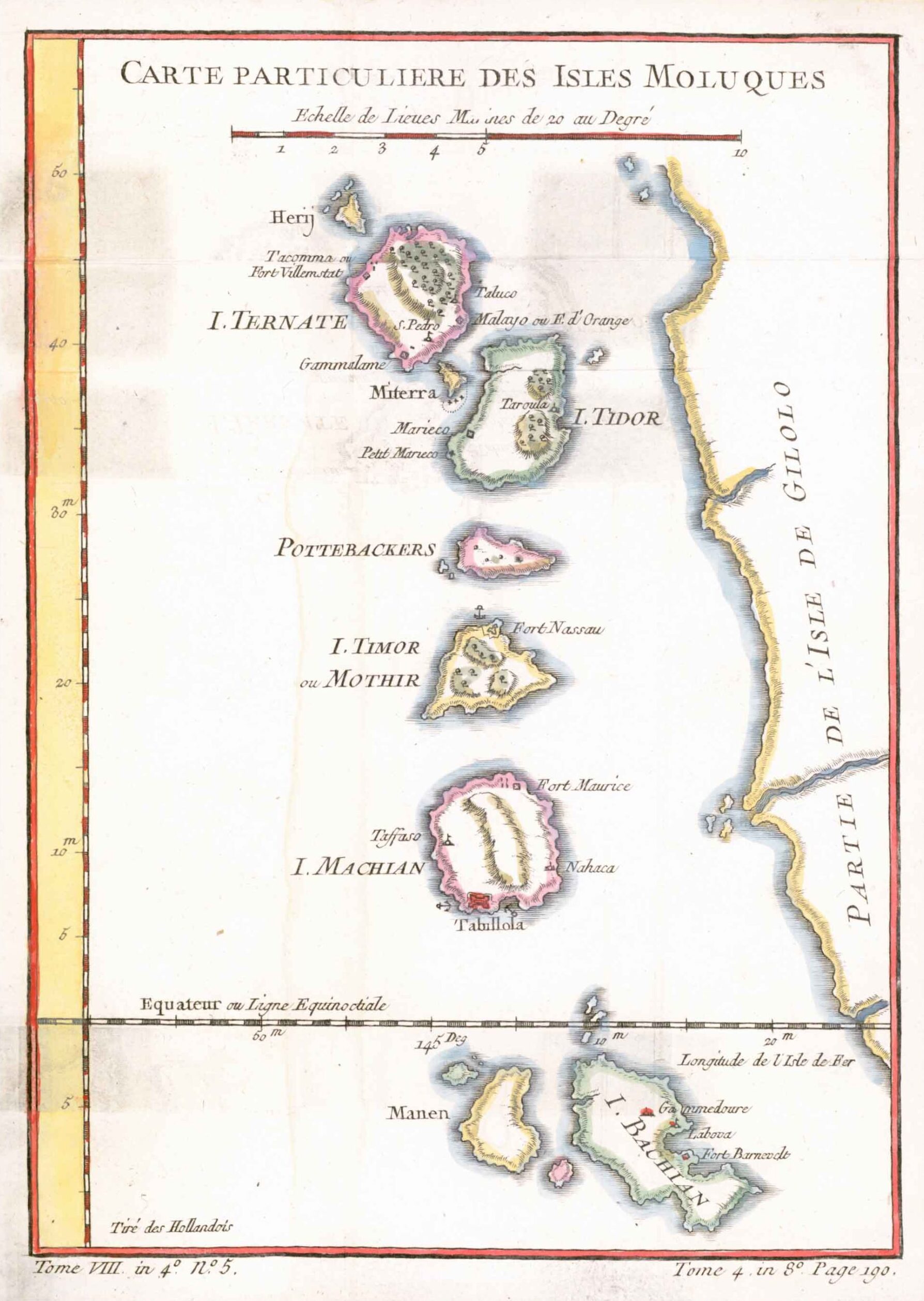
1770 - "CARTE PARTICULIERE DES ISLES MOLUQUES".
A fine early map of Moluccas Islands by Nicolas Bellin and published for "Histoire Géneral des Voyages". Jacques Nicolas Bellin (1703 – 21 March 1772) was a French hydrographer and geographer. During his career of over 50 years he produced a large number of maps for, among others, the French Ministry of Navy.
Size approximately 16cm x 21cm with several folds as issued.
Generally good condition with later hand colour.
£55.00