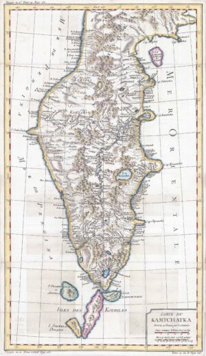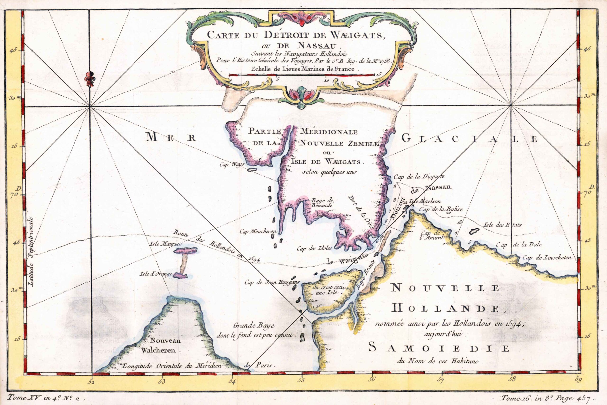
1770 - "CARTE DU DETROIT DE WAEIGATS, OU DE NASSAU".
An eighteenth century French map of the Weyghats Strait, the body of water between Novaya Zemlya and the Russian mainland, published in the Abbe Prevost's monumental 'l'Histoire Géneral des Voyages. The body of water, first passed and explored by Willem Barentz, is part of the Northern shipping route and published for "Histoire Géneral des Voyages". Jacques Nicolas Bellin (1703 – 21 March 1772) was a French hydrographer and geographer. During his career of over 50 years he produced a large number of maps for, among others, the French Ministry of Navy.
Size approximately 31.5cm x 20.5cm with folds as issued.
Generally good condition with later hand colour.
£66.00