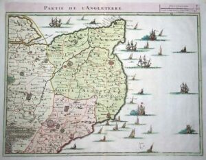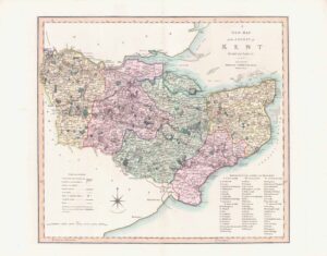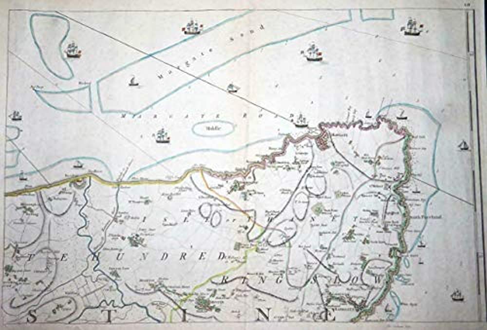
1769 - Large Original antique engraved map of part of Kent, covering the area of the North Foreland, with Reculver along the top and Birchington, Margate, Broadstairs and Ramsgate along the coast.
Taken from the "Topographical Map of the County of Kent in Twenty Five Sheets, on a Scale of Two Inches to a Mile, from an Actual Survey" by John Andrews & Andrew Dury.
A wonderful map with excellent detail of the towns and surround areas along with Naval Ships. Hand coloured.
Overall size including margins 53cm x 71cm.
£220.00