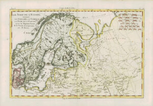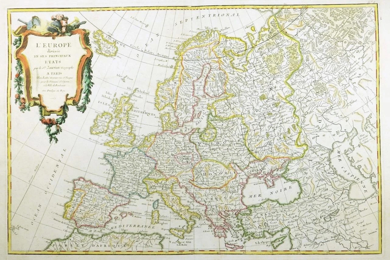
1762 - A fine and rare original antique map titled: ' L'EUROPE divisee en ses Principaux Etats '
Provenance: Taken from "Atlas Moderne ou collection de Cartes sur toutes les parties du Glove Terrestre" by Jean Lattre.
Overall size of the map is 51cm x 39cm with large margins.
Condition is excellent with original and later hand colour, and with central fold as issued and blank on verso.
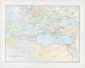
This is a good example of Jean Janvier's 1762 decorative map of the Europe. Janvier's map covers from Iceland to the Caspian Sea and from North Africa to the Arctic. The map is divided into countries and kingdoms with color coding according to region. As a whole it offers excellent detail throughout showing mountains, rivers, forests, national boundaries, regional boundaries, forts, and cities. The scope of the map is worth noting, as it intentionally encompasses not just Europe but the extent of European cultural expansion into the surrounding areas. It is no error that the map extends westward to Portuguese Madeira and Porto Santo, nor northwards to embrace Iceland, nor that it extends eastward into the Russian dominated lands beyond the Caspian. This was the 'Greater Europe,' a vast region considered naturally part of Europe's cultural patrimony. A large decorative title cartouche appears in the upper left quadrant.
£110.00