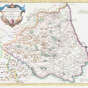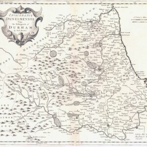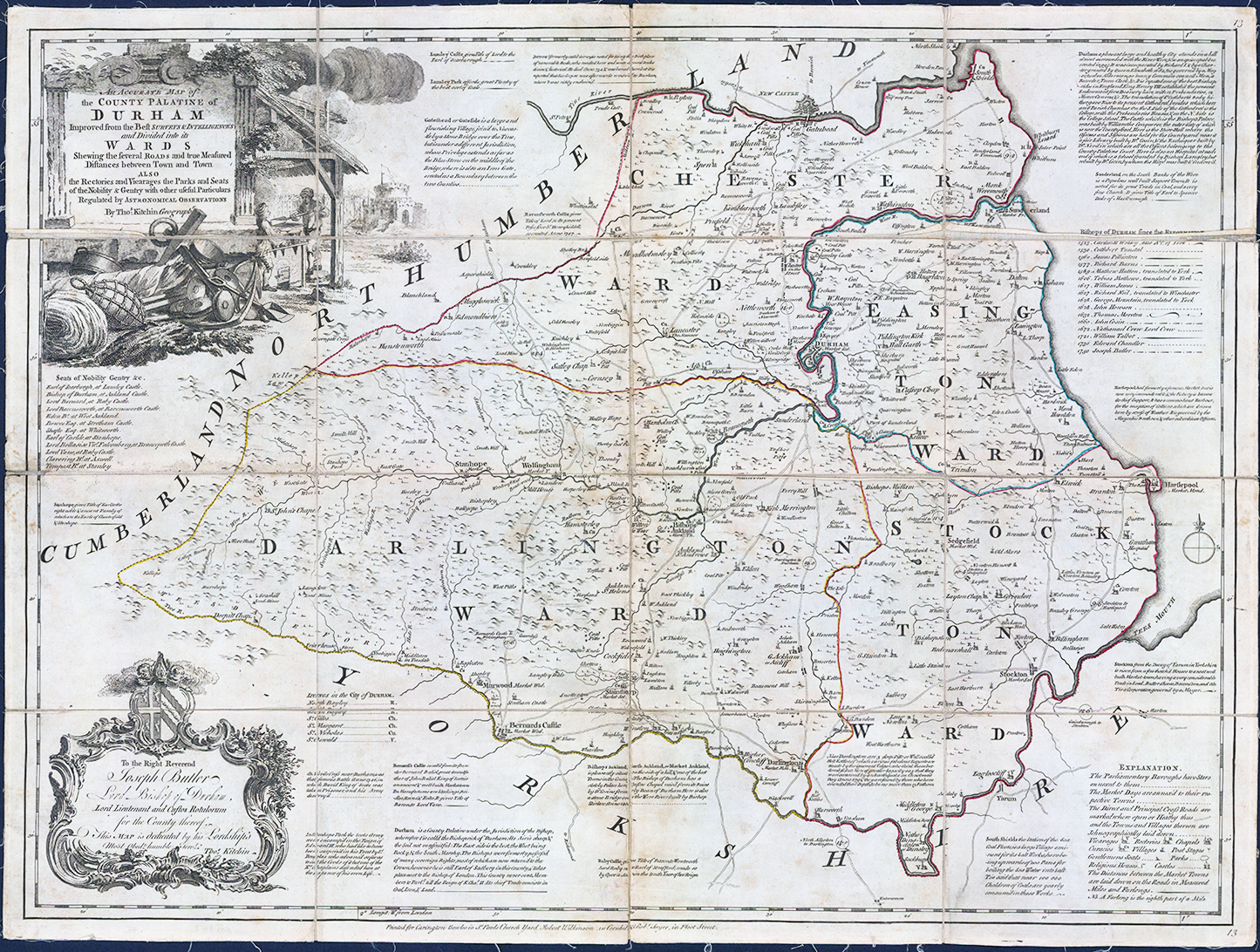
1762 - "An Accurate Map of the County Palatine of Durham Improved from the Best Surveys & Intelligences and Divided into its Wards Shewing the several Roads and true Measured Distances between Town and Town Also the Rectories and Vicarages the Parks and Seats of the Nobility & Gentry with other useful Particulars Regulated by Astronomical Observations".
A handsome antique engraved map of the County of Durham, first published by Thomas Kitchin Sr. in 1751. The map is divided by hand-coloured by wards/borders. An attractively-engraved scene of craftsmen at work forms the decorative border of the cartouche. Many annotations surround the map explaining the various communities depicted. The key in the lower-right corner provides a complex and detailed system of symbols. The map bears a dedication to Joseph Butler, Lord Bishop of Durham. Dissected into 16 sections and laid to linen.
Overall size approximately 71 x 53.5cm.
Overall condition is good with the usual mild age toning.
£185.00