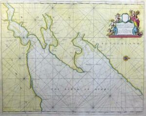
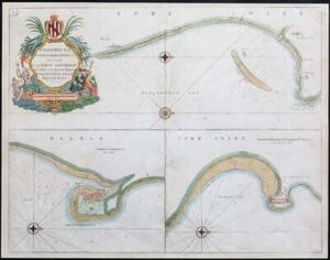
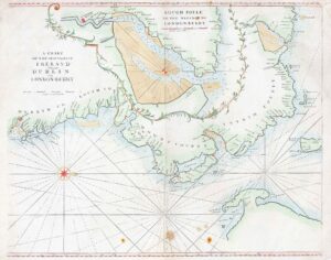
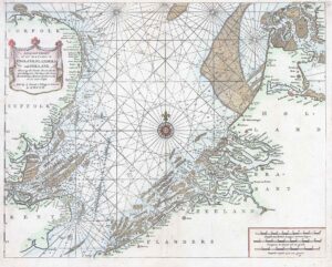
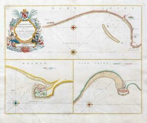
1760 - "THE CHEIFE HARBOURS IN THE ISLANDS OF ORKNEY Are most humbly Presented and Dedicated to Capt WILL BOND by Capt Greenvile Collins Hydrogr to the KING".
Sea chart of the harbours of Orkney. The main map shows the sea inlets around Kirkwall, two inset maps show Deer Sound and Stromness. Five coastal silhouettes inset at top right, title cartouche flanked by black eagles at centre right. The Great Britain Coasting Pilot was the result of the first systematic survey of British coastal waters. It took eight years to complete, and was used by the Royal Navy for navigating British waters for many years. The charts are notable for both their accuracy and their charm. Captain Greenvile Collins was an outstanding naval officer who became 'Hydrographer to the King' before the Coasting Pilot was published.
Overall size approx 59cm x 49cm including margins.
Condition generally fine with central fold as issued.
£250.00