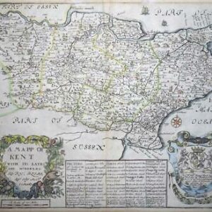
1750 'Carte du Comte de Kent et du pas de Calais pour servir aux Vasseaux Francais.......' Very large and detailed Sea chart covering the English Channel and showing Kent, East Sussex and Northern France. Published by the Depot de la Marine and taken from 'L'Hydrographie Ministres de la Marine' and engraved by Jacques-Nicholas Bellin.
Jacques-Nicolas Bellin (1703-1772) was one of the most important cartographers of the 18th century. With a career spanning some 50 years, Bellin is best understood as geographe de cabinet and transitional mapmaker spanning the gap between 18th and early 19th century cartographic styles. His long career as Hydrographer and Ingénieur Hydrographe at the French Dépôt des cartes et plans de la Marine resulted in hundreds of high quality nautical charts of practically everywhere in the world.
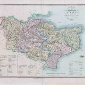
Approx 88cm x 59cm including margins with central fold as issued and blank on verso
£300.00