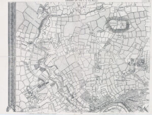
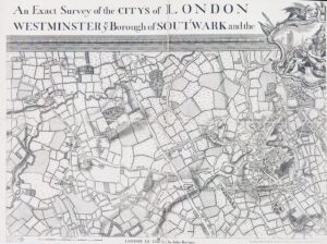
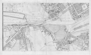
1746 A fine example of this original antique map by John Rocque, of London with this section showing the areas around Clerkenwell, West Smithfield, Holborn, Old Street and up to Islington. Published for "An Exact Survey of the citys of London Westminster ye Borough of Southwark and the Country near ten miles round / begun in 1741 & ended in 1745 by John Rocque Land Surveyor ; & Engrav'd by Richard Parr.".
This map was first published by Rocque in 1746, and several editions appeared before his death in 1762. His widow Mary Ann carried on the business for a few years, until, in the late 1760s, she transferred the plates of the map to the publishers Carrington Bowles and Robert Sayer, under whose imprints this edition appeared in 1769.
This example is in outstanding condition with central horizontal fold as issued. Overall size approx 52cm x 70cm including margins.
£825.00