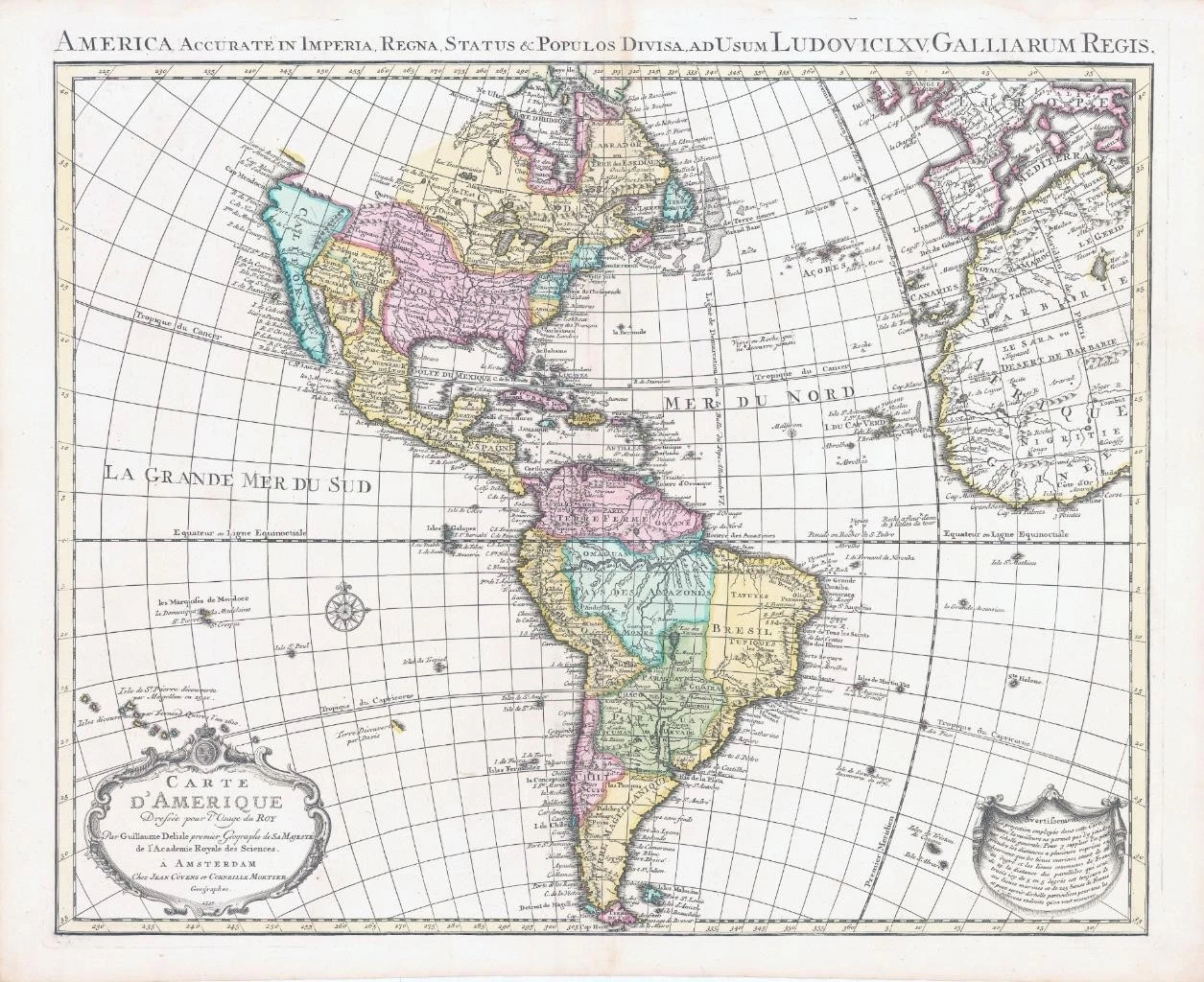
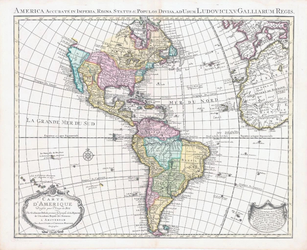
1739 - A large original engraved map titled: " Carte D'Amerique Dressee pour l'Usage dy Roy par Guillaume Delisle premier Geographe de SA MAJESTE de l'Academie Royale des Sciences A Amsterdam chez Jean Covens et Corneille Mortier Geographes 1739 "
Guillaume Delisle's map of the Americas was one of the most popular maps of the 18th century with numerous editions published. Its various editions provide a great view of the evolving cartographic knowledge of the Americas throughout the eighteenth century. This is the sixth state published in Amsterdam by Covens & Mortier with the addition of a Latin title at top; America Accurate in Imperia, Regna, Status & Populos Divisa In North America the western coast is now continued northward above Cap Blanc to include a large Mer de l'Ouest; this being an early appearance of the mythical Sea of the West. The region of central Canada has been extensively updated to included several large lakes and forts. The French territory of Louisiane takes up the lion's share of North America at the expense of the British colonies. This political bias is due to Delisle's position as geographer to the King of France. The west end of Hudson Bay is completed and the names reflect recent British explorations in the region. Halifax and Philadelphia are now named. South America is much better represented with a good depiction of the river systems and locations of the Jesuit missions.
Generally excellent condition with central fold as issued.
Overall size approximately 66cm x 54cm including margins.
Blank on verso.
Appears to be original hand colour.
Guillaume De L'Isle (1675-1726) is probably the greatest figure in French cartography. Having learned geography from his father Claude, by the age of eight or nine he could draw maps to demonstrate ancient history. He studied mathematics and astronomy under Cassini, from whom he received a superb grounding in scientific cartography—the hallmark of his work. His first atlas was published in ca. 1700. In 1702 he was elected a member of the Academie Royale des Sciences and in 1718 he became Premier Geographe du Roi. De L'Isle's work was important as marking a transition from the maps of the Dutch school, which were highly decorative and artistically-orientated, to a more scientific approach. He reduced the importance given to the decorative elements in maps, and emphasized the scientific base on which they were constructed. His maps of the newly explored parts of the world reflect the most up-to-date information available and did not contain fanciful detail in the absence of solid information. It can be fairly said that he was truly the father of the modern school of cartography at the commercial level. De L’Isle also played a prominent part in the recalculation of latitude and longitude, based on the most recent celestial observations. His major contribution was in collating and incorporating this latitudinal and longitudinal information in his maps, setting a new standard of accuracy, quickly followed by many of his contemporaries. Guillaume De L’Isle’s work was widely copied by other mapmakers of the period, including Chatelain, Covens & Mortier, and Albrizzi.
£550.00