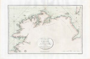
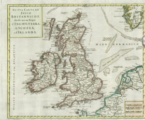
1730 - "A MAP OF THE ISLE OF WIGHT PORTSEA HALINGE, ALSO THE ISLANDS OF JARSEY & GARNSEY WHICH ARE PART OF HAMPSHIRE, GEORGE WILLDEY AT THE GREAT TOY SHOP, SPECTACLE, CHINA WARE & PRINT SHOP, YE CORNER OF LUDGATE STREET NEAR ST PAULS LONDON"
A fine example of this very difficult to find, highly detailed and decorative Map centred on the Isle of Wight and including Part of Hampshire, Jersey (inset map of Alderney), Guernsey (inset map of Sark), Scilly Isles, the Isle of Man, Holy Island and Farne Island & Newport. Further decorated with some Compass Roses, Coats of Arms of the prominent Families & Decorative Cartouche titles. Map by Philip Lea and published by George Willdey.
Condition with slight staining, repaired closed tears, some affecting image, central fold repaired on verso.
The whole backed with archival tissue.
Size 40cm x 51cm including the margins.
£750.00