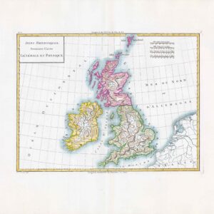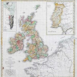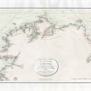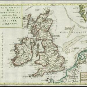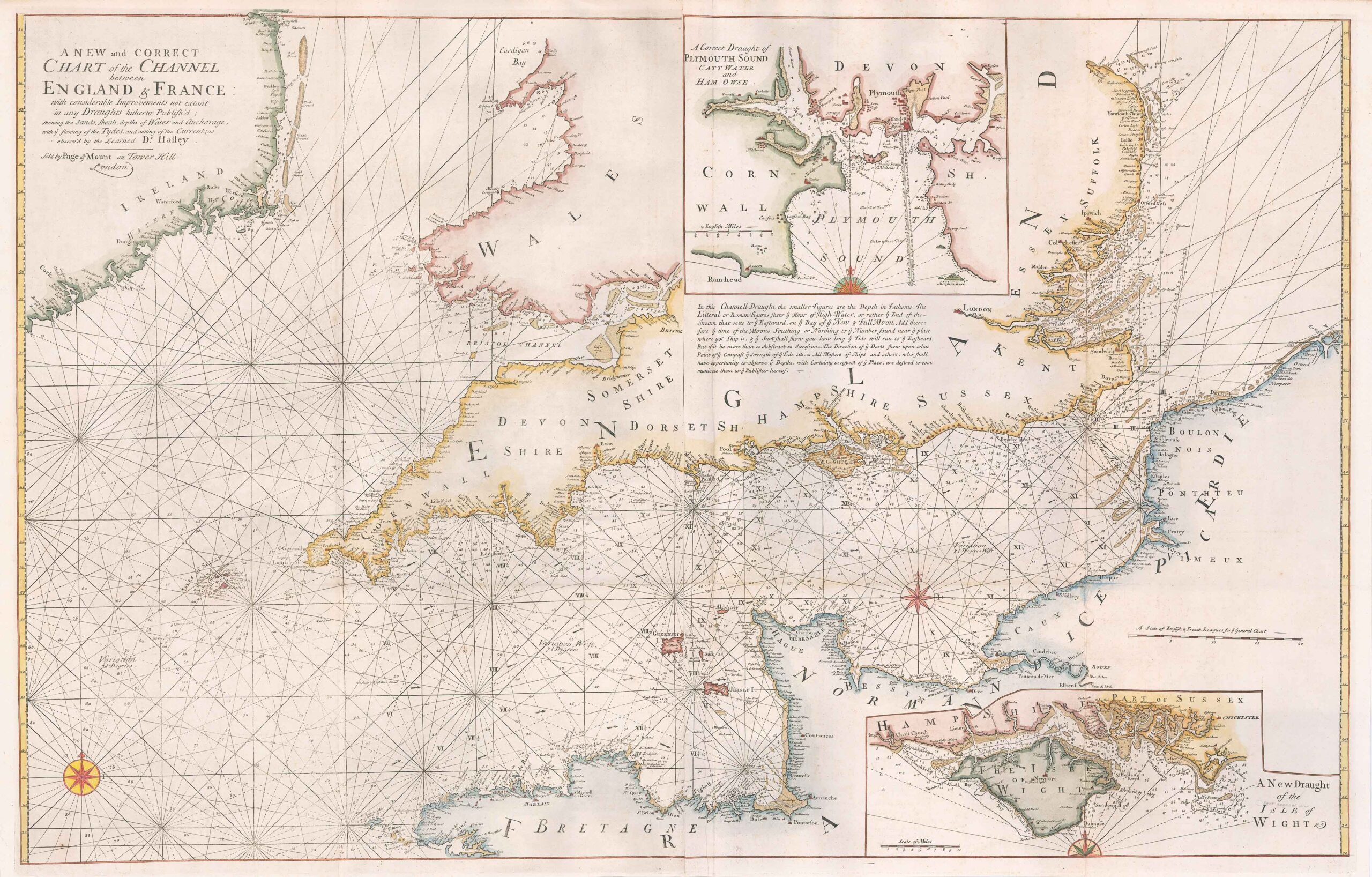
1723 - "A NEW and CORRECT CHART of the CHANNEL between ENGLAND & FRANCE with considerable Improvements not extant in any Draughts hitherto Publish'd; shewing the Sands, Shoals, depths of Water and Anchorage with ye flowing of the Tydes, and setting of the Current; as observ'd by the Learned Dr Halley - Sold by Page & Mount on Tower Hill London".
Decorative antique eighteenth century copperplate nautical sea chart, printed on thick paper. Two sheets conjoined; Captain Greenvile (or Greenville) Collins. Sold by Mount & Page, Tower Hill. Collins was an officer of the Royal Navy and prominent hydrographer, who was commissioned by King Charles II in 1676 and appointed by Samuel Pepys (then Secretary to the Admiralty), to chart the coasts of Great Britain. The resulting atlas - Great Britain's Coasting Pilot - was the first original sea atlas to be produced by an Englishman. Prior to publication of these maps, nautical charts were often defective, and there was no centralised system for collecting and disseminating the better maps made by experienced seamen. In 1681, Collins gained the king's preferment to survey the country's coasts. The Admiralty supplied Collins with the 8-gun yacht HMSMerlin for the first two years and later the yacht HMSMonmouth until 1686. His work was carried out under the supervision of Trinity House, who also supported the project financially. Samuel Pepys insisted that Collins be made a younger brother of Trinity House. Collins spent seven years on the survey, the first edition of which was published in 1693, as "Great Britain's Coasting Pilot". The charts, while not completely accurate, were an enormous advance on anything before them, entitling Collins to rank as not only one of the earliest, but also among the best of English hydrographers.
Overall size including the margins approx 104cm x 67cm.
Condition is excellent with several folds as issued. Later hand colour.
£723.00