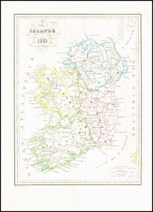
1719 - A large original engraved map titled: " Carte du Gouvernement Civil et Militaire Avec L'Etat des Officiers du Royaume D'Irlande "
Striking set of maps of Ireland on this single sheet, coats of arms of Ireland and England and a views of Irish Parliament and the House of Commons.
A finely engraved map from Chatelain's monumental 7 volume Atlas Historique, one of the most famous and prolific works of the early 18th Century. Striking full colour example.
Generally excellent condition. Overall size approximately 51cm x 44.5cm including margins. Blank on verso. Central fold as issued and later hand colouring.
Henri Abraham Chatelain (1684-1743) was a Huguenot pastor of Parisian origins. Chatelain proved a successful businessman, creating lucrative networks in London, The Hague, and then Amsterdam. He is most well known for the Atlas Historique, published in seven volumes between 1705 and 1720. This encyclopedic work was devoted to the history and genealogy of the continents, discussing such topics as geography, cosmography, topography, heraldry, and ethnography. Published thanks to a partnership between Henri, his father, Zacharie, and his younger brother, also Zacharie, the text was contributed to by Nicolas Gueudeville, a French geographer. The maps were by Henri, largely after the work of Guillaume Delisle, and they offered the general reader a window into the emerging world of the eighteenth century.
£220.00