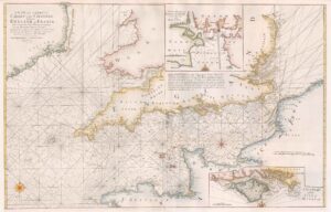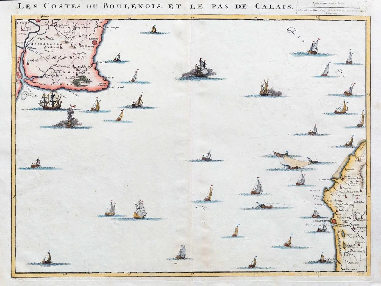
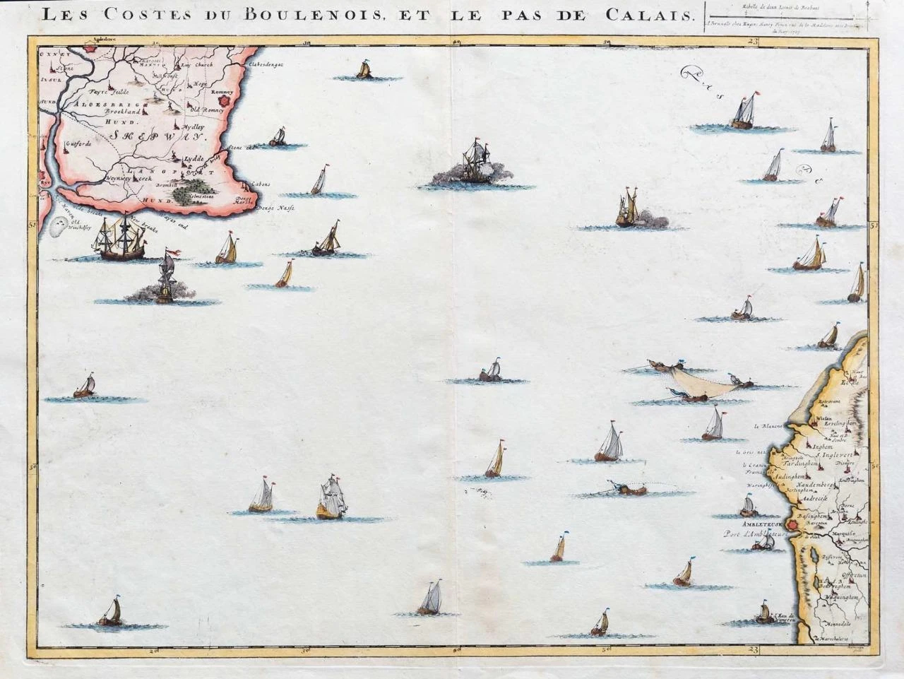
1709 Large Original antique engraved map titled "LES COSTES DU BOULENOIS ET LE PAS DE CALAIS"
A fine and rare map showing the Kent Coast line South East England and part of the Western Coast of france, by Eugene Henry Fricx and engraved by C Mortier. Excellent detail and embellished by Naval Ships and with early hand colouring. Map is in good condition with central fold as issued and some expected age toning. Overall size including margins 58cm x 49cm
£250.00