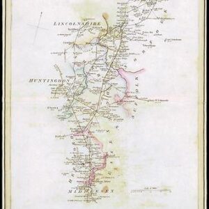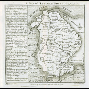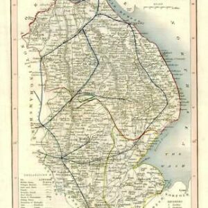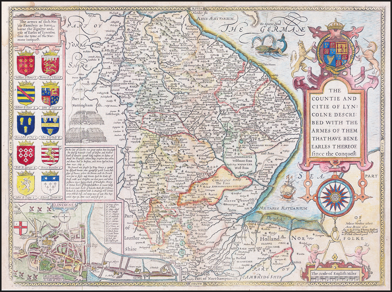
"THE COUNTIE AND CITIE OF LYNCOLNE DESCRIBED WITH THE ARMES OF THEM THAT HAVE BENE EARLES THEREOF SINCE THE CONQUEST". A fine example of this John Speed map published by Bassett & Chiswell, London 1676. A highly decorative map of Lincolnshire with an elaborate title cartouche, compass rose, ship, sea monster, an inset city plan, and numerous coats of arms. English text on verso. Overall size approx 54cm x 45cm. Condition is generally good with central fold as issued and some very light age toning spots.
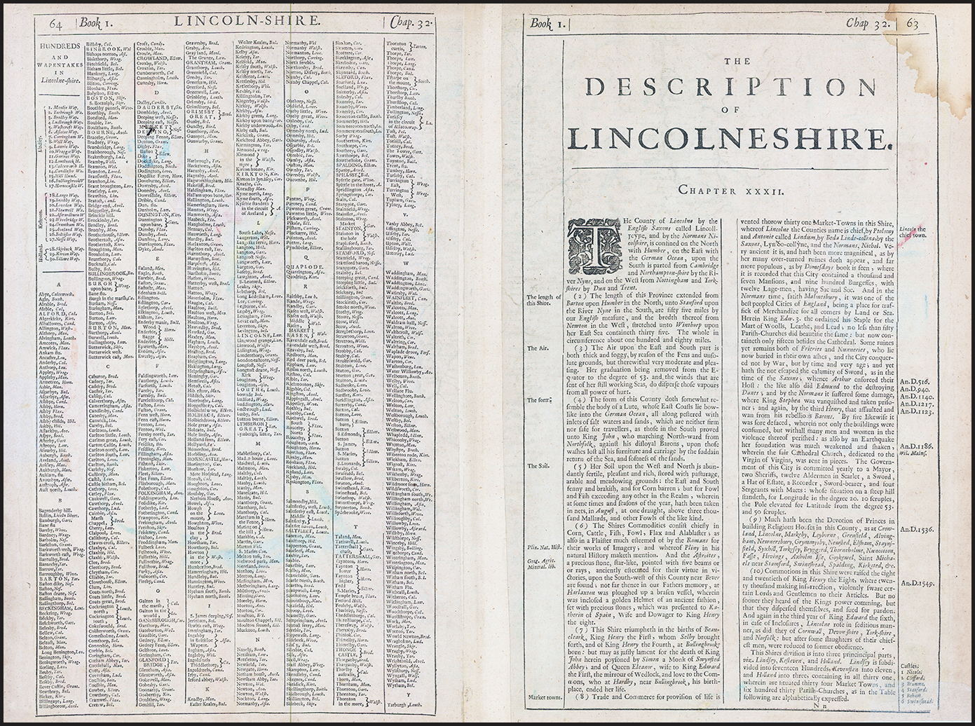
When described by Speed, the County of Lincolnshire was divided into six zones. These zones included lowland, two upland areas, a river valley, the coast, and fenlands. Lincolnshire's economy was largely dependent on livestock and corn production. Reeds from the marshlands were used for thatching and covering floors and flax was used for making linen. Some trade took place along the Lincolnshire coast; however, the mudflats and sandbanks of the area made coastal shipping somewhat hazardous. There was an overall economic depression in the kingdom and her counties that perhaps explains why visible decay and recession characterised the land and is apparent in Speed's less-than-grandeur detail of Lincoln. The convention of orienting a map north-south proved to be a problem in his depiction of Lincolnshire, a largely east-west oriented county. This problem was resolved by adopting a much smaller scale than generally employed.
John Speed (1542 - 1629) was an important English historian and cartographer active in the early 17th century. Speed was born in Fardon, Cheshire and apprenticed under his father as a tailor. Though his heart was never in tailoring, Speed dedicated himself to this profession until he was about 50 years old. During all the time, Speed dedicated his spare time to research as amateur historian and mapmaker - even preparing several maps for Queen Elizabeth. In London, Speed's interest in history lead him to join the Society of Antiquaries. Eventually he befriended the wealthy Sir Fulke Greville, who sponsored his researches and eventually freed him from the haberdashery profession. Working with William Camden, Speed eventually published his 1611 Historie of Great Britaine. Though this history itself was amateurish and of minimal importance, Speed's inclusion of numerous maps of British Cities and town was seminal. In many cases these plans were the first maps ever issued of their respective subjects. Later, turning his attention more fully to Geography, Speed published the magnificent atlas Theatre of the Empire of Great Britaine and, just prior to his death, the 1627 A Prospect of the Most Famous Parts of the World. These were the first British world atlases and have a landmark position in the history of cartography. These atlases continued to be published well after Speed's death.
£400.00