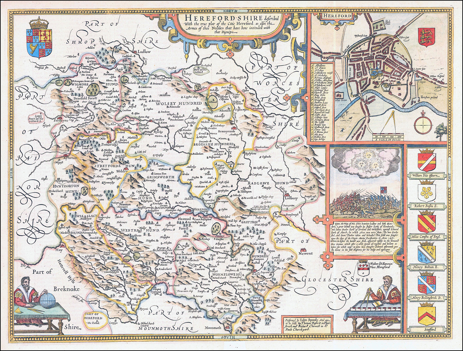
1676 "HEREFORDSHIRE described with the true plot of the citie Hereford as alsoe the Armes of thos Nobles that have bene intituled with that Dignitye".
A fine original antique map by John Speed of the County of Herefordshire and published by 'PERFORMED BY JOHN SPEED AND ARE TO BE SOLD BY THOMAS BASSETT IN FLEET STREET AND RICHARD CHISWELL IN ST PAULS CHURCHYARD".
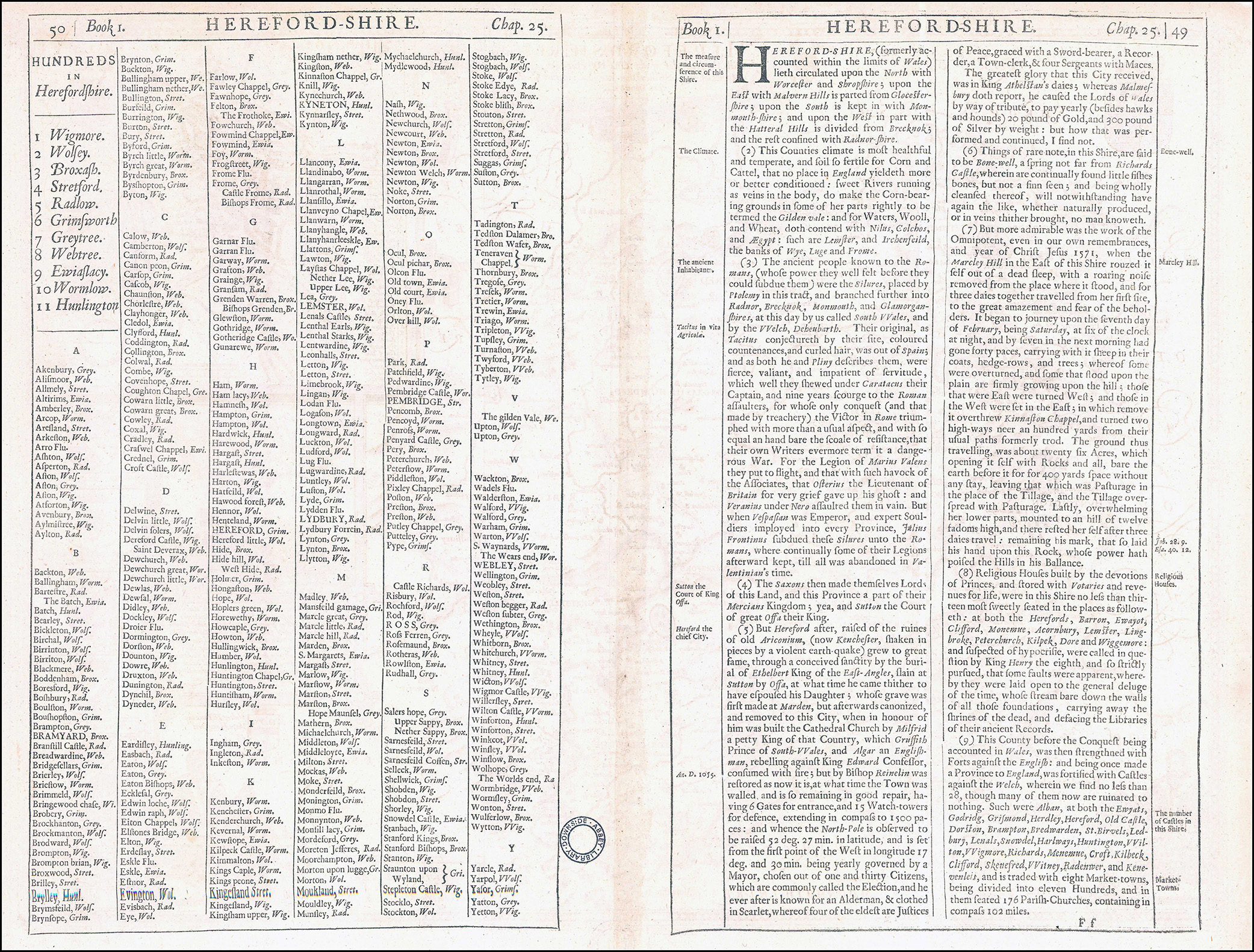
The county is divided into the Hundreds, with borders outlined in hand colour, principal towns picked out in red, and hills, forests, and enclosures shown pictorially. In the top right corner, a large inset town plan of Hereford is enclosed in a strapwork box, with an alphanumeric key identifying buildings of note. Below, a descriptive text of the Battle of Mortimer’s Cross, one of the decisive engagements of the Wars of the Roses, is included, along with an image of the battle taking place below the triple ‘Sun in Splendour’ that became the Arms of Edward of York. To the right, the Arms of various nobles connected to the county are also blazoned, and in the bottom corners of the map, a pair of geographers are shown consulting a mile scale and a globe. English text on verso describing the county, accompanied by a list of the Hundreds, and an alphabetical list of place names.
Condition is excellent with central fold as issued. Overall size approx 40.5 x 53cm.
£325.00