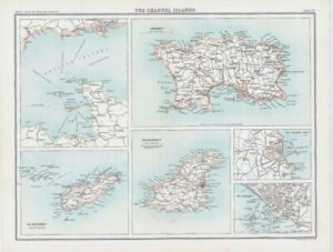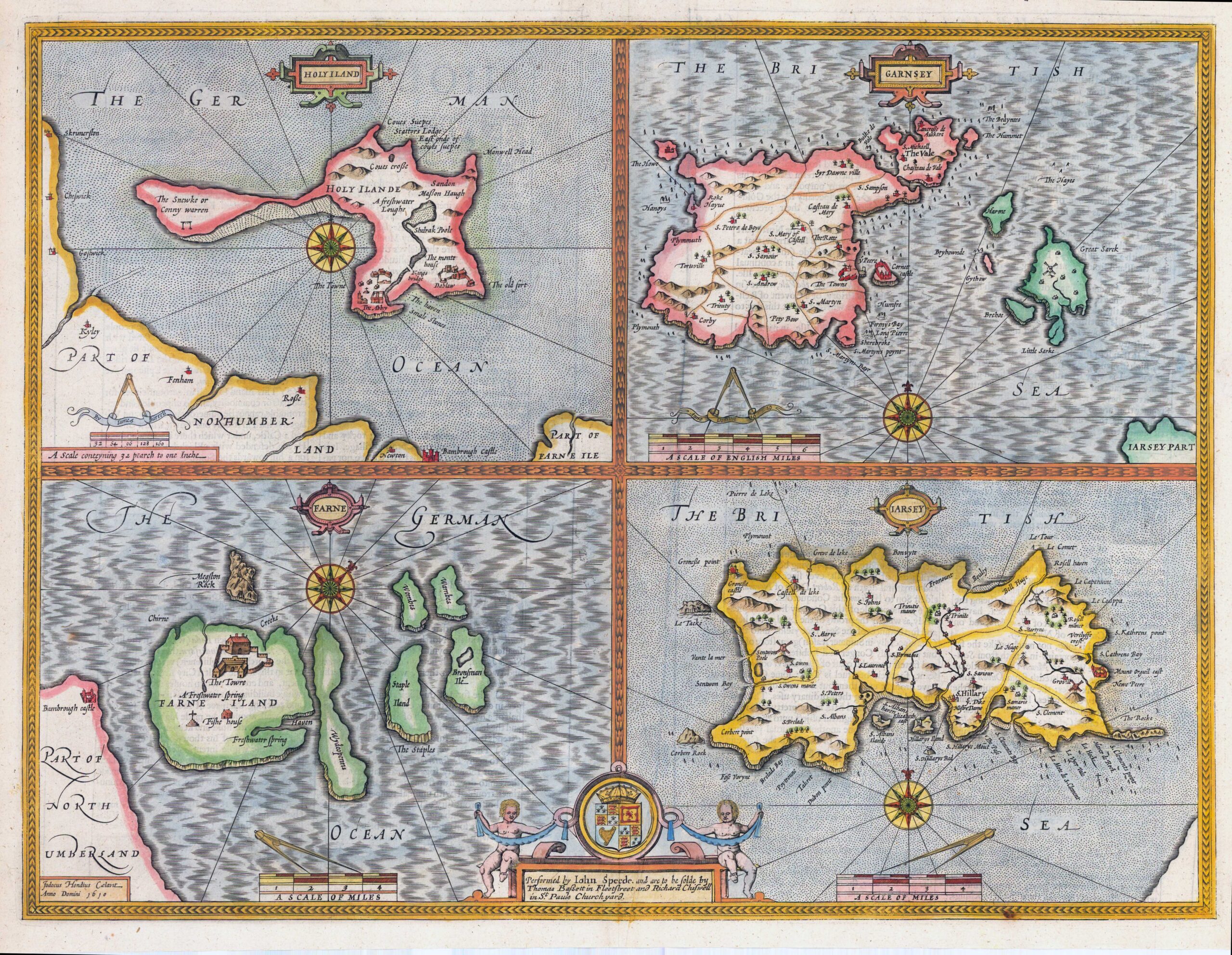
1676 "HOLY ILAND - GARNSEY - FARNE - JARSEY"".
A set of four boxed maps on a single plate depicting four British islands: The Farne Islands, Holy Island, Guernsey and Jersey, from The Theatre of the Empire of Great Britaine. Landmarks of each of the islands are shown pictorially and seas as shown as either hatchuring or stipping to give the place a checkerboard effect. Each map also features a scale in miles, a compass rose and a decorative strapwork title cartouche. The privilege and publication line is enclosed in a central cartouche at bottom, which features the arms of the Kingdom supported by a pair of putti. This is the edition published by Thomas Bassett & Richard Chiswell.
Condition is generally very fine with central fold as issued with English text on verso.
Size 53cm x 42cm including the margins & with later hand colour.
John Speed (1552-1629) is the most famous of all English cartographers primarily as a result of The Theatre of the Empire of Great Britaine, the first Atlas of the British Isles. The maps from this Atlas are the best known and most sought-after of all county maps. The maps were derived mainly from earlier prototypes for Christopher Saxon and Robert Norden but with notable improvements include parish "Hundreds" and county boundaries, town plans and embellishments such as the coats of arms of local Earls, Dukes and the Royal Household.
£450.00