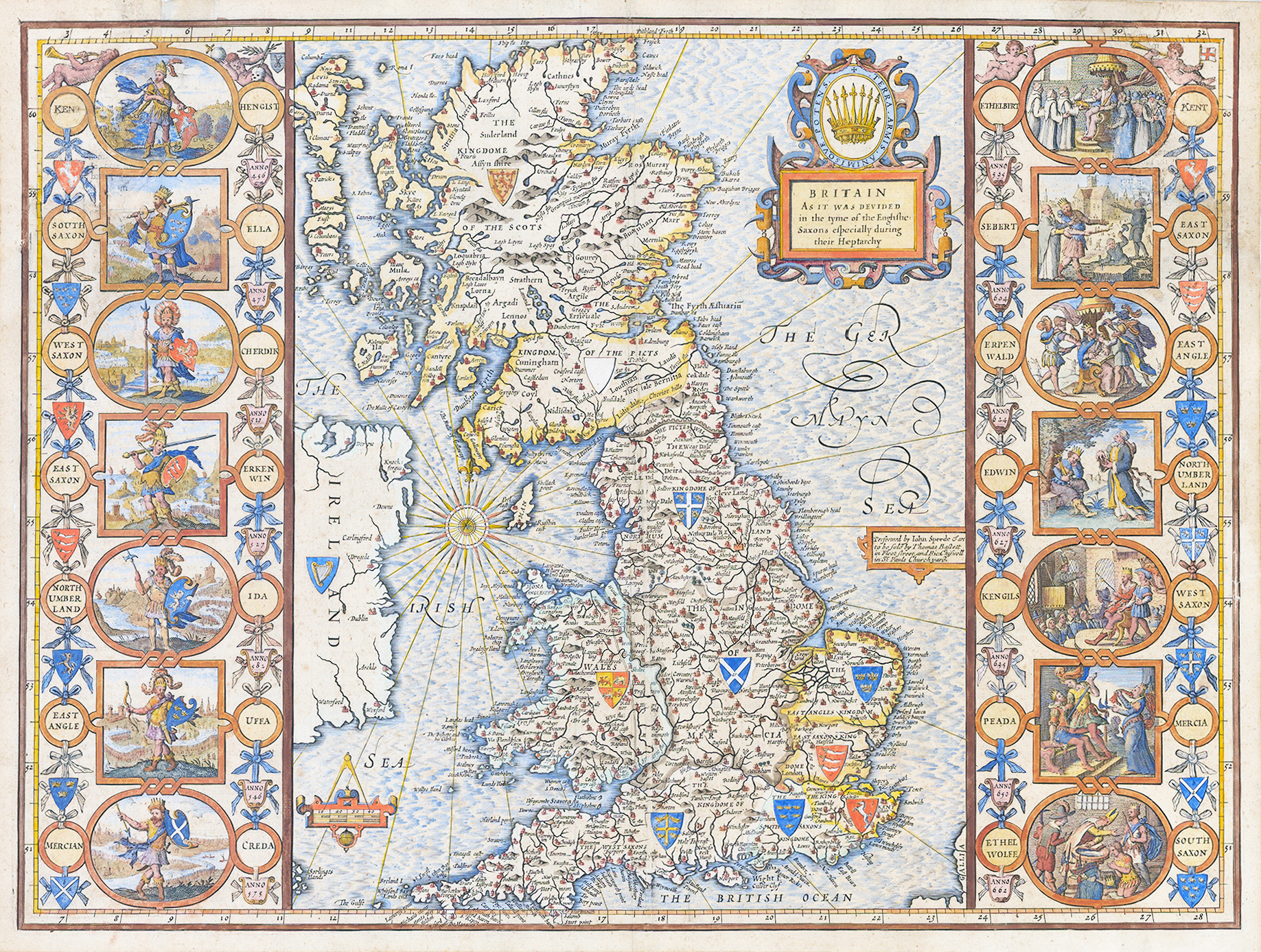
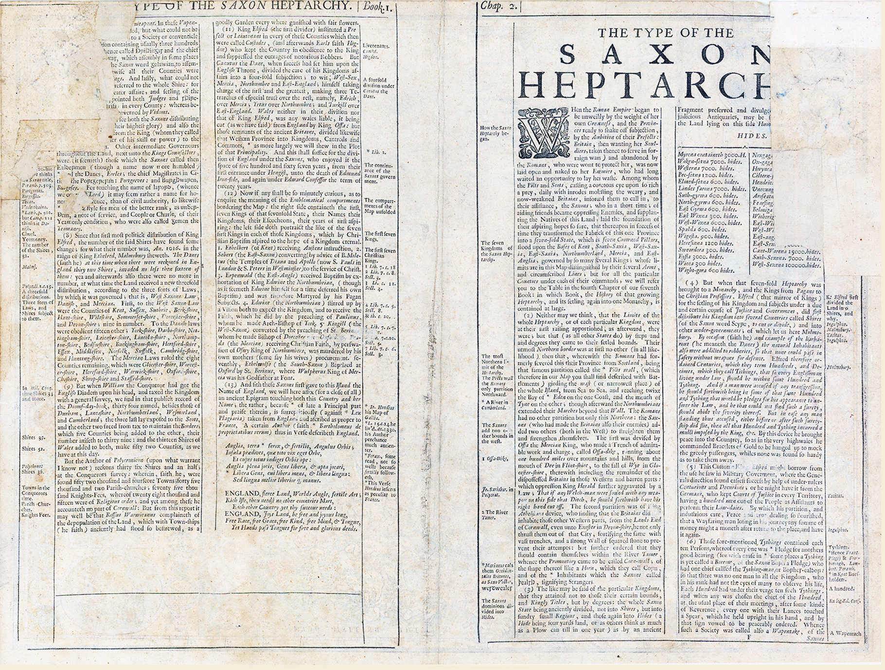
1676 "BRITAIN AS IT WAS DEVIDED IN THE TYME OF THE ENGLISHE SAXONS ESPECIALLY DURING THEIR HEPTARCHY" "PERFORMED BY JOHN SPEEDE & ARE TO BE SOLD BY THOMAS BASSETT IN FLEET STREET AND RICh CHISWELL IN ST PAULS CHURCHYARD".
A fine example of this highly decorative map by John Speed of the British Isles during the time of the Saxons, during the Heptarchy, the name given to the period when it was popularly supposed that the island was divided into seven kingdoms: East Anglia, Sussex, Wessex, Northumbria, Mercia, Kent, and Essex. The borders are filled with scenes from the lives of famous British rulers. On the right, Peada of Mercia is stabbed through the connivance of his own wife at Easter after converting to Christianity to marry her; at the upper left, the semi-mythical Hengist appears, who betrayed Vortigern, King of the Britons, and led the Anglo-Saxon invasion; at the upper right, Ethelbert of Kent listens to the preaching of St Augustine, who eventually converted him to Christianity.
John Speed (1552-1629) was the outstanding cartographer of his age. His 'Theatre of Great Britain' was the first atlas of the British Isles: Speed prepared the maps himself about two years before they were published. His maps and books dominated the seventeenth-century English market.
Overall size approx 53cn x 40cm. Condition is generally very fine with some historical strenthening to the paper on verso, top left and top right.
£1,400.00