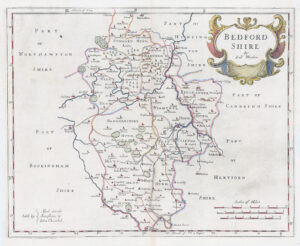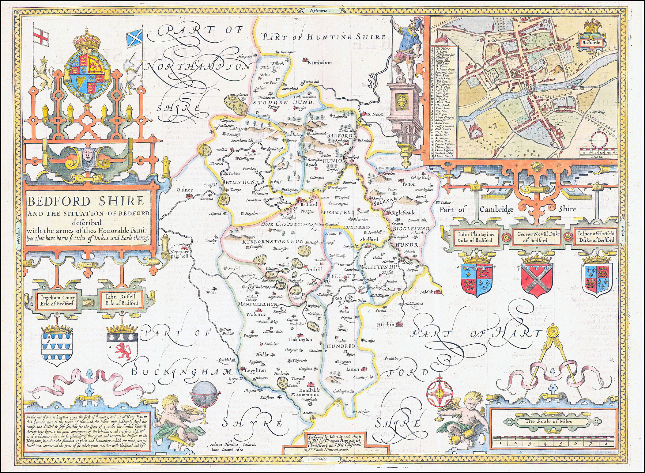
An original antique copperplate engraving of John Speed's decorative map of
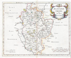
"BEDFORDSHIRE AND THE SITUATION OF BEDFORD described with the armes of thos Honorable Familyes that have borne ye titles of Dukes and Earls thereof"
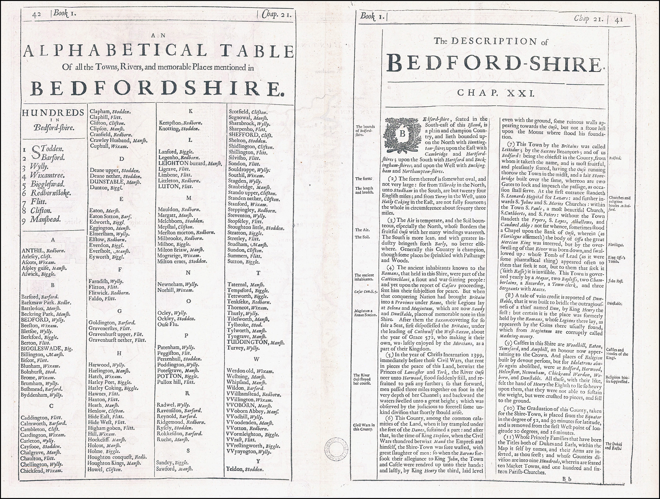
A highly decorative 17th century map of Bedfordshire which was ‘performed’ by John Speed and published in The Theatre of the Empire of Great Britaine (London: Bassett & Chiswell, 1676). The inset plan of Bedford, surveyed by Speed himself, is the earliest known of this town. On the reverse of the map there is a complete set of text briefly describing the history and topography of the county..
John Speed (1552-1629) is the most famous of all English cartographers primarily as a result of The Theatre of the Empire of Great Britaine, the first Atlas of the British Isles. The maps from this Atlas are the best known and most sought-after of all county maps. The maps were derived mainly from earlier prototypes fo Christopher Saxon and Robert Norden but with notable improvements include parish "Hundreds" and county boundaries, town plans and embellishments such as the coats of arms of local Earls, Dukes and the Royal Household.
Published in 1676 by Thomas Bassett & Richard Chiswell in Fleet Street, London.
On verso, there is a small Library stamp of approx 2cm circular diameter, which cannot be seen from the front. Overall excellent condition.
Overall size including the margins approx 41.5cm x 53cm.
£250.00