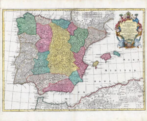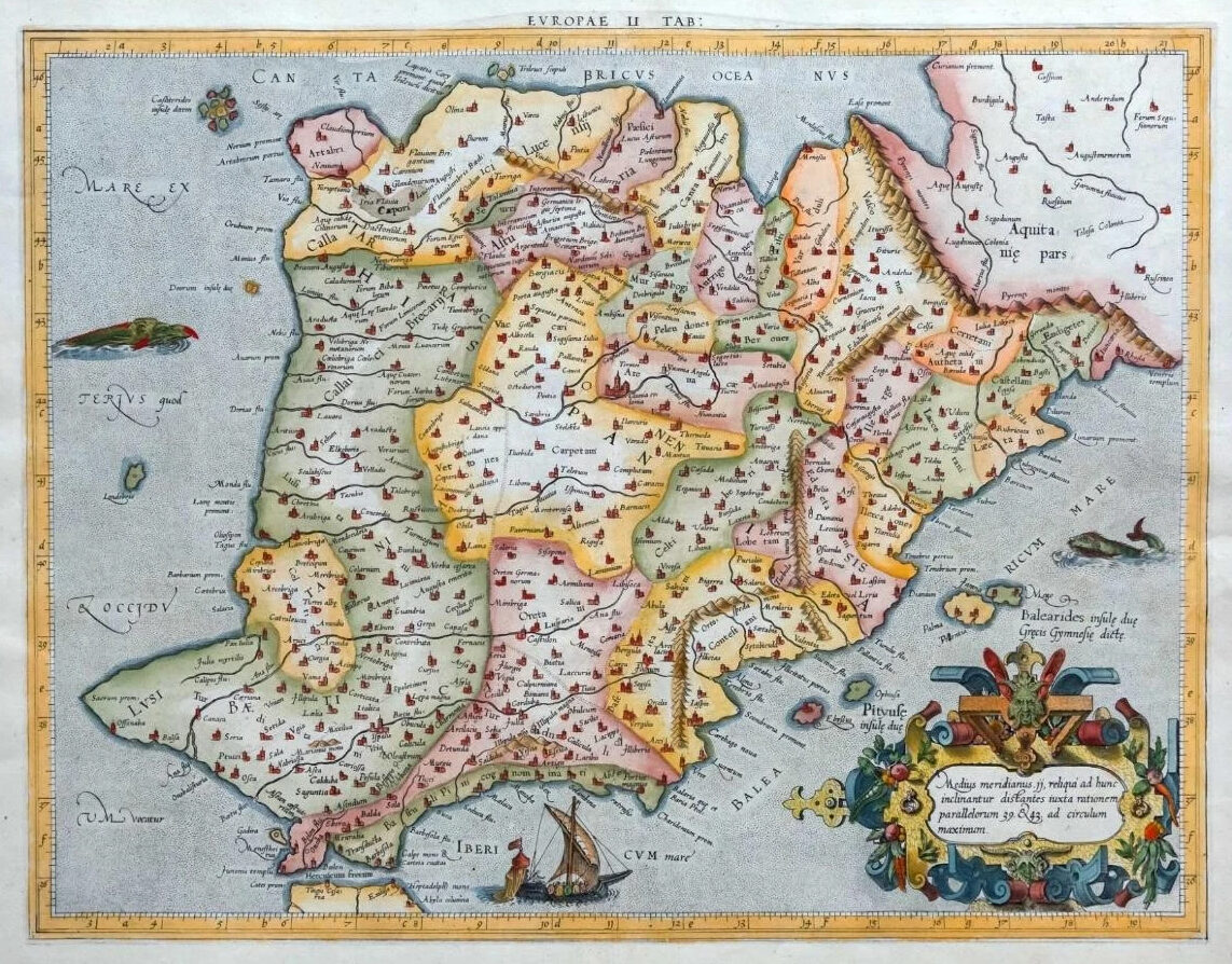
1595 - " EUROPAE II TAB " (Spain & Portugal)
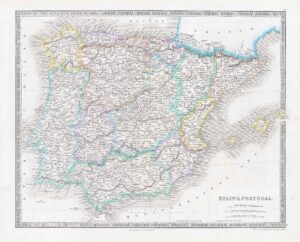
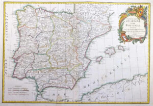
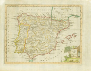
Antique map titled 'Europae II Tab'. Old map of the Iberian Peninsula. The peninsula is principally divided between Spain and Portugal, comprising most of their territory, as well as Andorra, small areas of France, and the British overseas territory of Gibraltar.
Gerard Mercator (1512-1594) was an accomplished mathematician, cartographer, globe maker and engraver but is best known for the Mercator Projection. Incorporating the newly accepted fact that the world is round, Mercator was able to render longitude lines consistently straight on a chart. Although this requires some distortion, it was of great use for navigators, and is historically important, as it is still the most commonly used projection today. Petrus Bertius (1575-1629) was a Flemish cosmographer who worked for Louis XIII in Paris.
Map is in excellent condition with central fold as issued and early hand colouring.
Approximately size 51cm x 43cm.
£535.00