1790 Large original copper engraved antique map titled
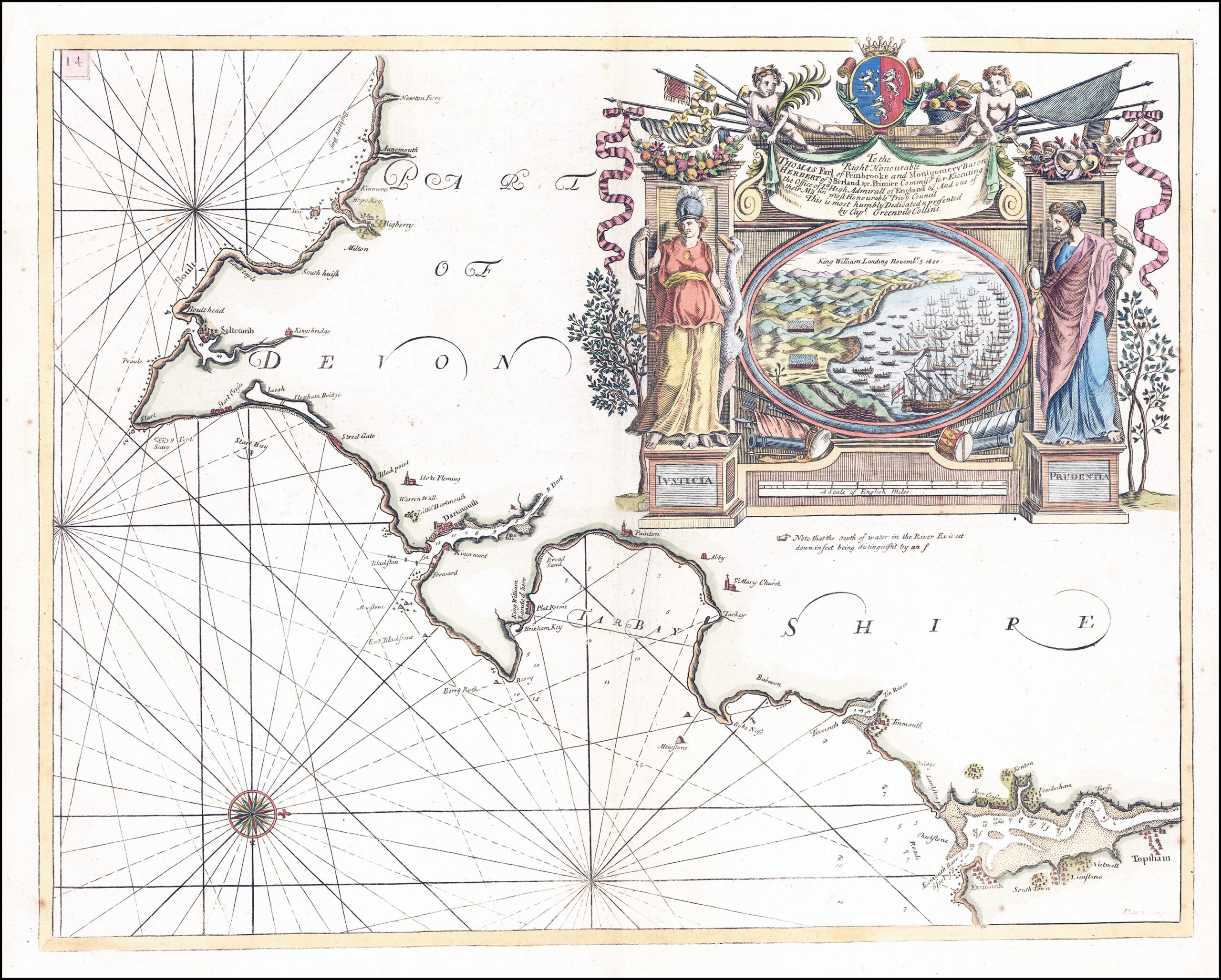
" To the Right Honourable THOMAS Earl of Pembooke and Montgomery Baron HERBERT of Sutherland and Primier Commiss. for Executing the Office of Ld High Admirall of England And one of their Maj.ties most Honourable Privy Council This is most humbly Dedicated & presented by Capt Greenvile Collins"
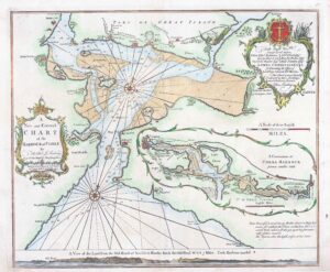
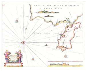
A magnificant & rare large engraved untitled Sea Chart showing the Devon coastline from Bigbury-on-Sea, Salcombe, Dartmouth, Berry Head, Paignton, Teignmouth, Exmouth and into Topsham. The chart is dominated by an elaborate cartouche around the dedication featuring allegorical figures of Justice and Prudence guarding a scene of William III's landing at Brixham in 1688, at the beginning of the Glorious Revolution.
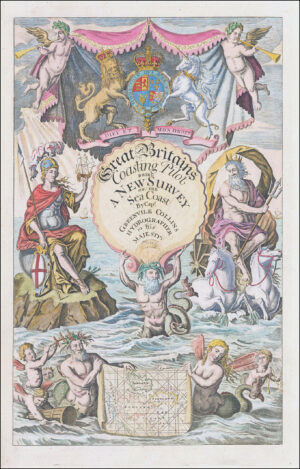
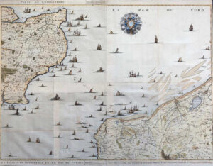
This map was created by the maritime Cartographer, Captain Greenvile Collins. Collins was an officer of the Royal Navy and prominent hydrographer who was commissioned by King Charles II in 1676 and appointed by Samuel Pepys (then secretary to the Admiralty) to chart the Coasts of Great Britain and the result was his 'Great Britains Coasting Pilot'.
Central fold as issued. This map is in excellent condition. Overall size approx 62cm x 50cm
£275.00