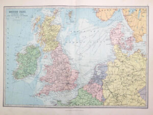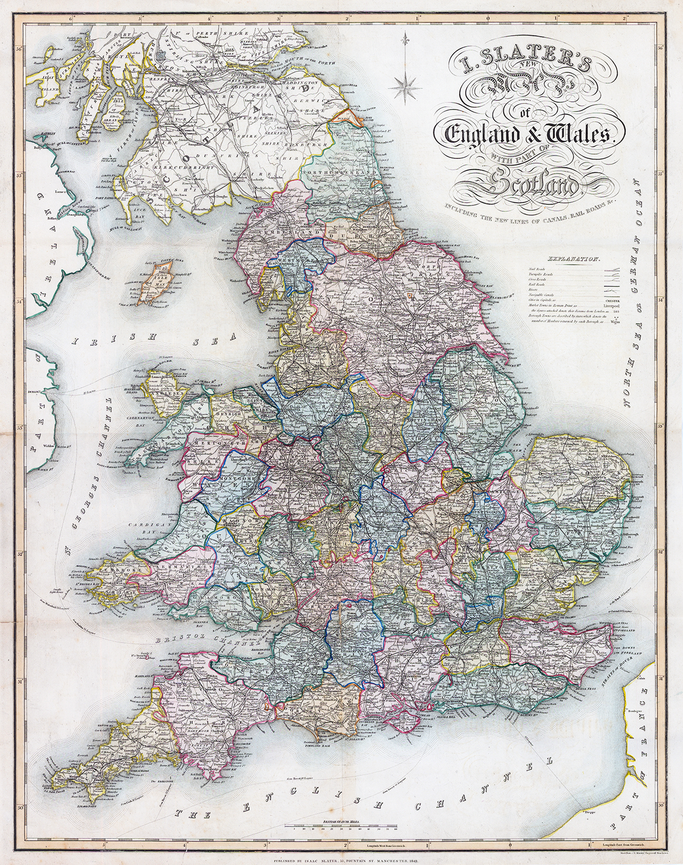
1849 "I SLATER'S NEW MAP OF ENGLAND & WALES WITH PART OF SCOTLAND including the new lines of canals, Rail, Roads &c"
A very attractive and detailed 19th century map of England and Wales which was published in [James] Pigot & Co.’s British Atlas. The (county) maps from ‘Pigot & co.’s British Atlas’ were the first to be engraved from steel plates as opposed to copper. In the early 19th century the rapid rise in both the population and literacy rate had seen an increased demand for books and printed material. Copper, the traditional medium used for engraving, was no longer capable of keeping up with this on account of its limited durability, hence, the introduction of the more harder and longer lasting steel.
Overall size approx. 52 x 68cm. With original hand colouring and generally very fine condition, with several folds as issued.
£110.00