1843 "LONDON"
Showing the Thames Tunnel in the Year it Was Opened
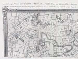
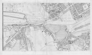
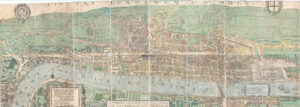
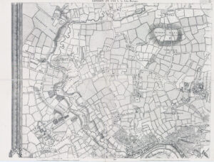
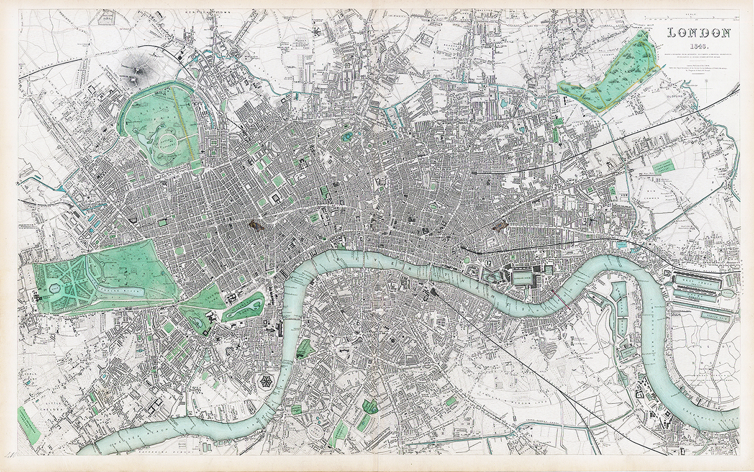
Highly detailed map of London, centered on the Thames and extending from Greenwich Reach and Bromley to Kensington Gardens and St. Marylebone. This map was issued by the Society for the Diffusion of Useful Knowledge in 1843.
The map is remarkable for its tremendous detail. All major avenues and crossroads are named, as well as a vast majority of the cross-streets. Important buildings, such as hospitals, inns, theatres, and prisons, are all indicated.
The map presents a still-small London. Pimlico and Chelsea are still being developed. Canary Wharf is all but empty.
19th-century London was a time of massive change. The arrival of the railways had been built soon, and Waterloo, King's Cross, and St. Pancras still had yet to be built. The Thames Tunnel, opened to the public in 1843, is shown between Southwark and the Docks.
Excellent condition with central fold as issued. 65 x 40cm.
£500.00