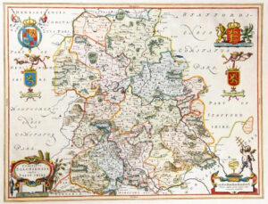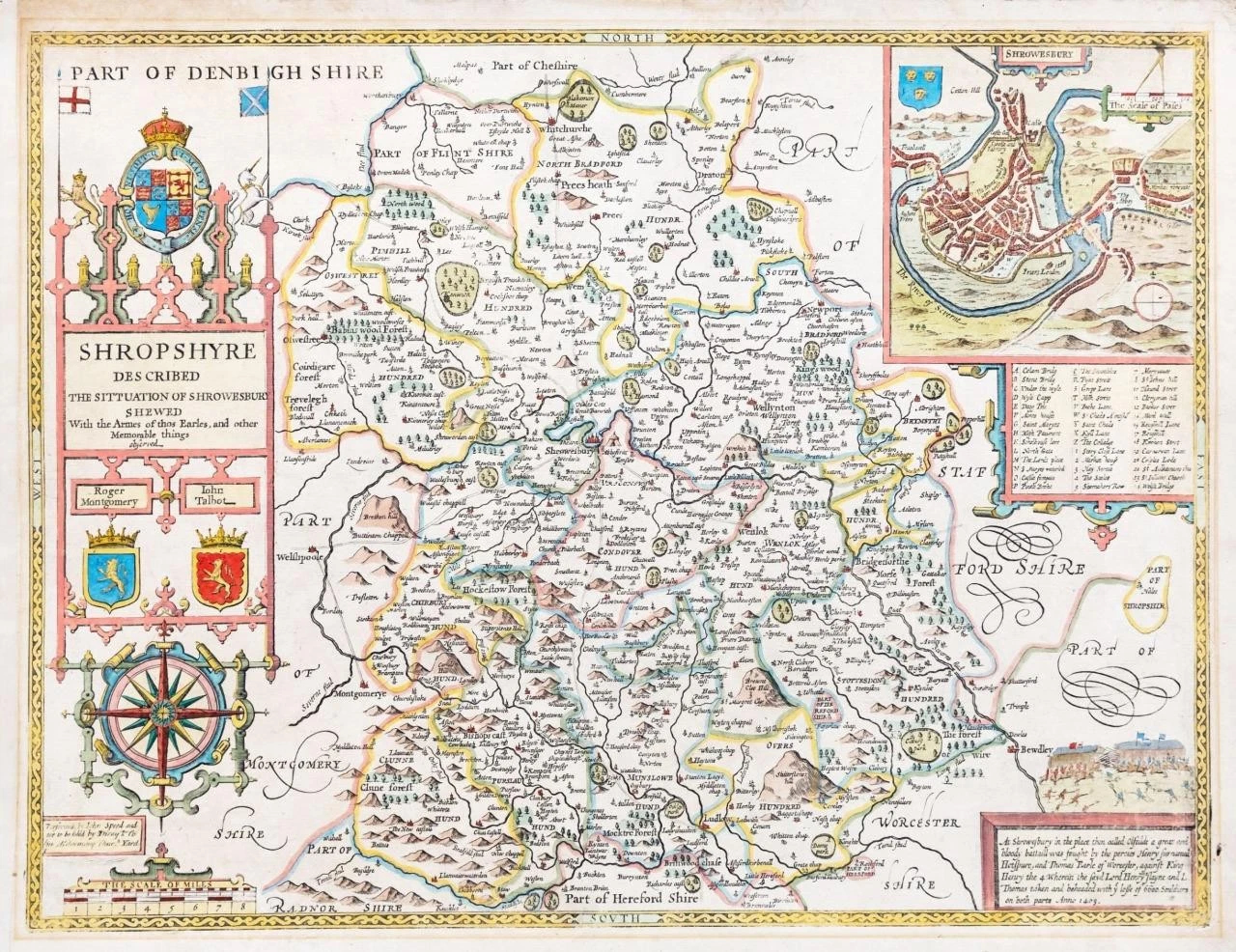
1770 - " SHROPSHYRE Described The Sittuation of Shrowesbury Shewed with the armes of thos Earles and other Memorable things observed "
Very rare copper line engraved map of the county by John Speed, published in London by Dicey & Co. Inset town plan of SHROWESBURY (Shrewsbury) with coats of arms for Roger Montgomery & John Talbot, large compass rose and a Battle scene. English text on verso.
Measures 410mm x 530mm with early hand colouring.
The Dicey edition, despite being the last published example of this Atlas, is probably the rarest of all the editions. The reverse was/is blank and has been linen backed for preservation.
Original antique map in excellent condition.
£380.00