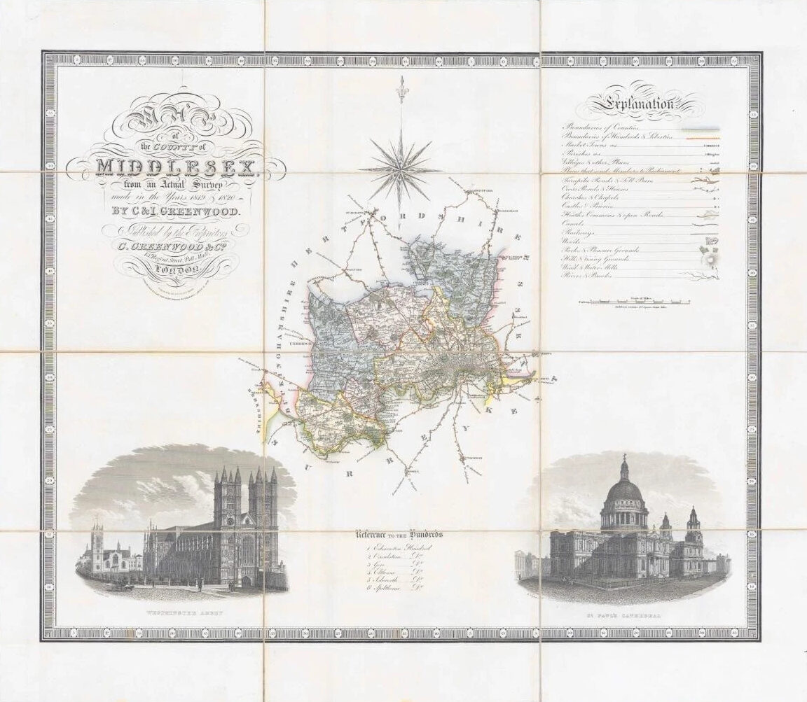
1829 - " Map of the County of MIDDLESEX from an Actual Survey made in the years 1819 & 1820 by C & I Greenwood, published by the Proprietors C Greenwood & Co, 13 Regent Street, Pall Mall London "
A very fine example of the larger scale map, dissected into 12 sections and laid to linen & with green silk border lining. Original hand wash colour and vignettes of WESTMINSTER ABBEY & ST PAUL'S CATHEDRAL.
Overall measurements 75cm x 65cm.
£110.00