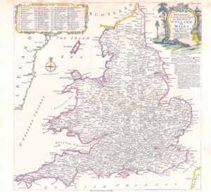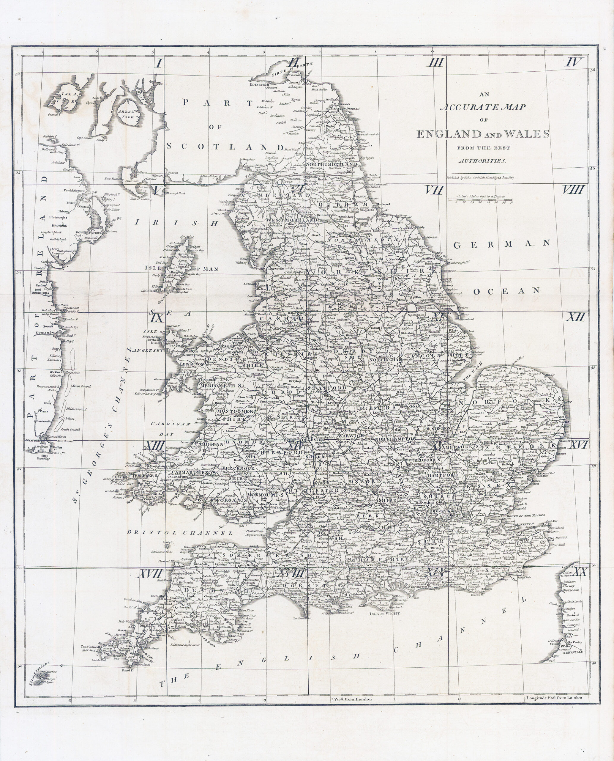
1809 "AN ACCURATE MAP OF ENGLAND AND WALES FROM THE BEST AUTHORITIES Published by John Stockdale, Piccadilly June 1809". An attractive and good sized copper engraved county map of England and Wales with a scale of statute miles. Also covers the east coast of Ireland.
Overall size approx 45 x 56.5cm
£50.00