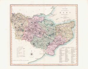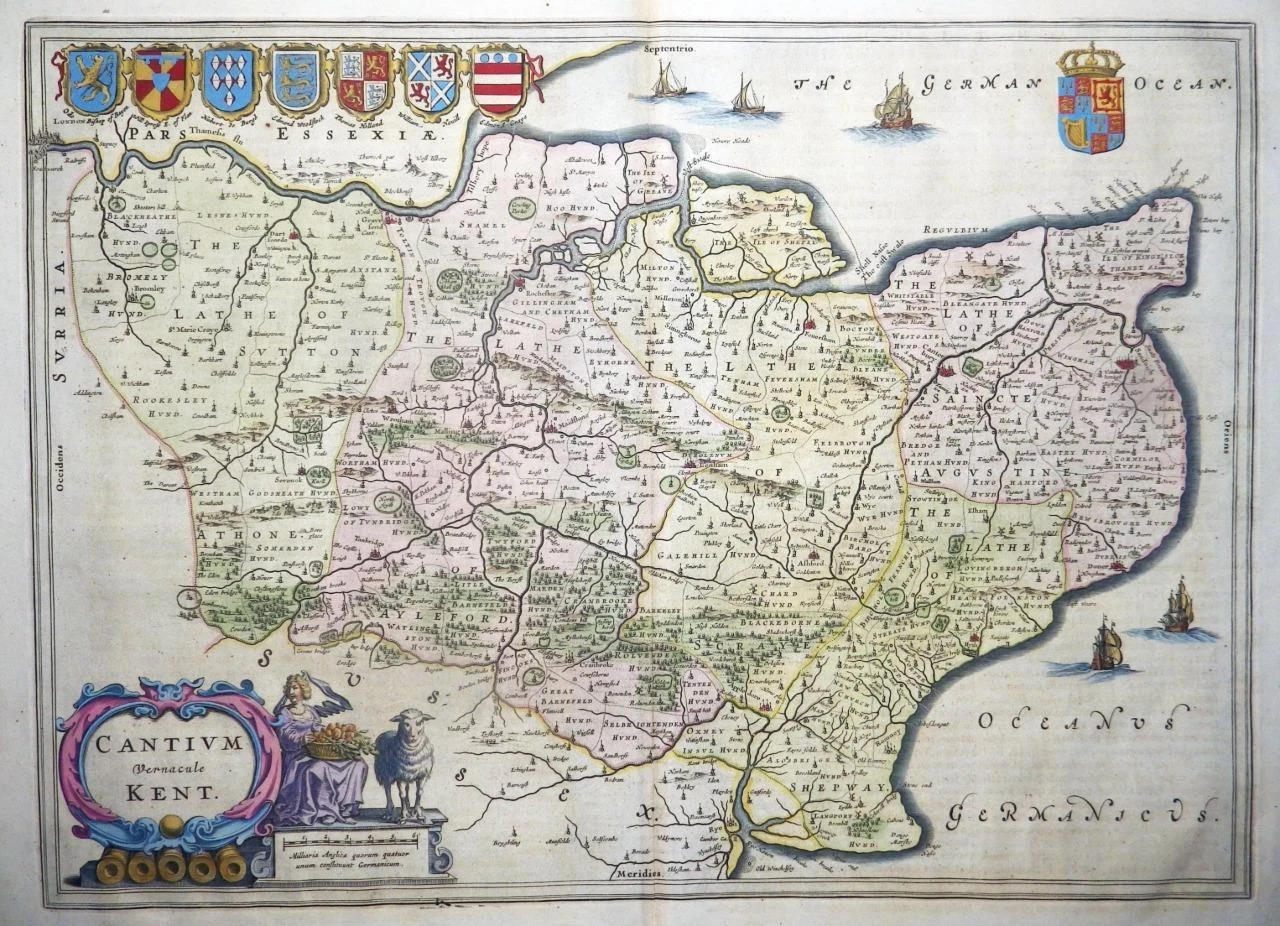
c1645 " CANTIUM Vernacule KENT "
A very fine example of one of the most elegant maps of the county of Kent by one of the most highly regarded mapmaking dynasties of any period. Dutch mapmakers dominated the seventeenth century European publishing industry and supreme amongst many were the Blaeu family, whose maps then, as now, were renowned for their artistic presentation, fine engraving, quality of production and fine in-house colouring. Although based on John Speed's information published 30 years earlier, this is a finer engraving with coats of arms and rural vignettes.
The reverse of the map has the rare Latin Text & measures 610 x 500mm, with early hand colouring. Original antique Map is in excellent condition with the usual central fold as issued.
£425.00