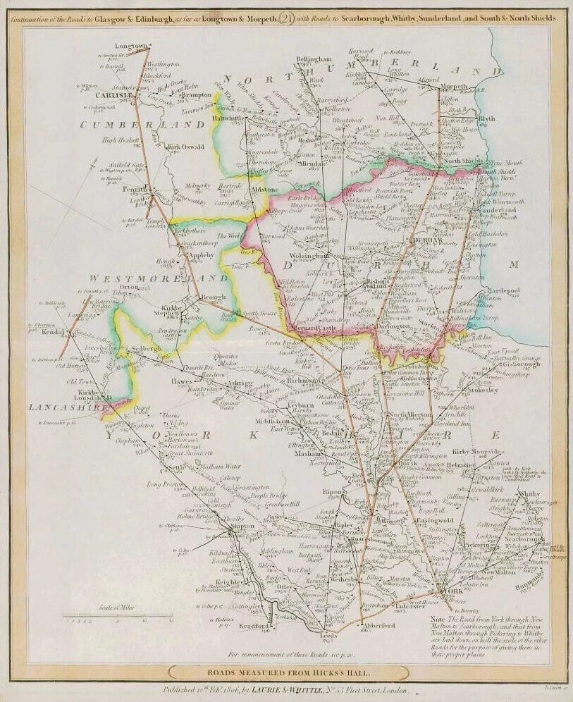
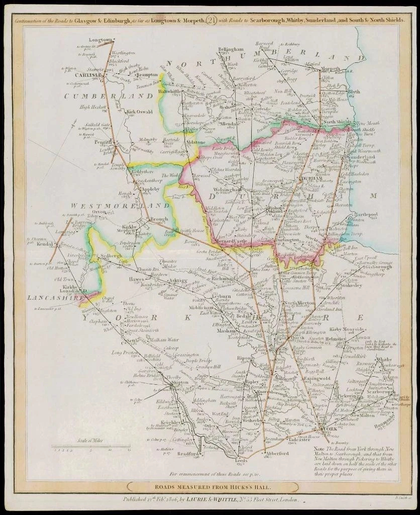
1806: "Completion of the Roads to Glasgow and Edinburgh as far as longtown and Morpeth with Roads to Scarborough, Whitby, Sunderland and South & North Shields - ROADS MEASURED FROM HICK'S HALL"
An original antique map taken from Laurie & Whittle's 'Travellers Companion' showing the areas from York, Easingwold, Thirsk, Leubyrn, Richmnd, Sedbergh, Bishop's Auckland, Durham, Sunderland, Blyth Morpeth, Bellingham etc.
CONDITION:
Overall excellent condition. These particular Laurie & Whittle Road Maps are really difficult to find in better condition as most of them are damp stained. This example with vibrant original outline hand colouring.
Overall size 263mm x 310mm and ready for mounting and framing.
£57.75