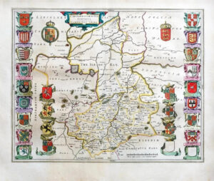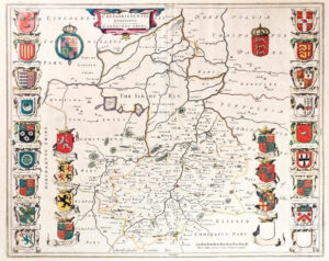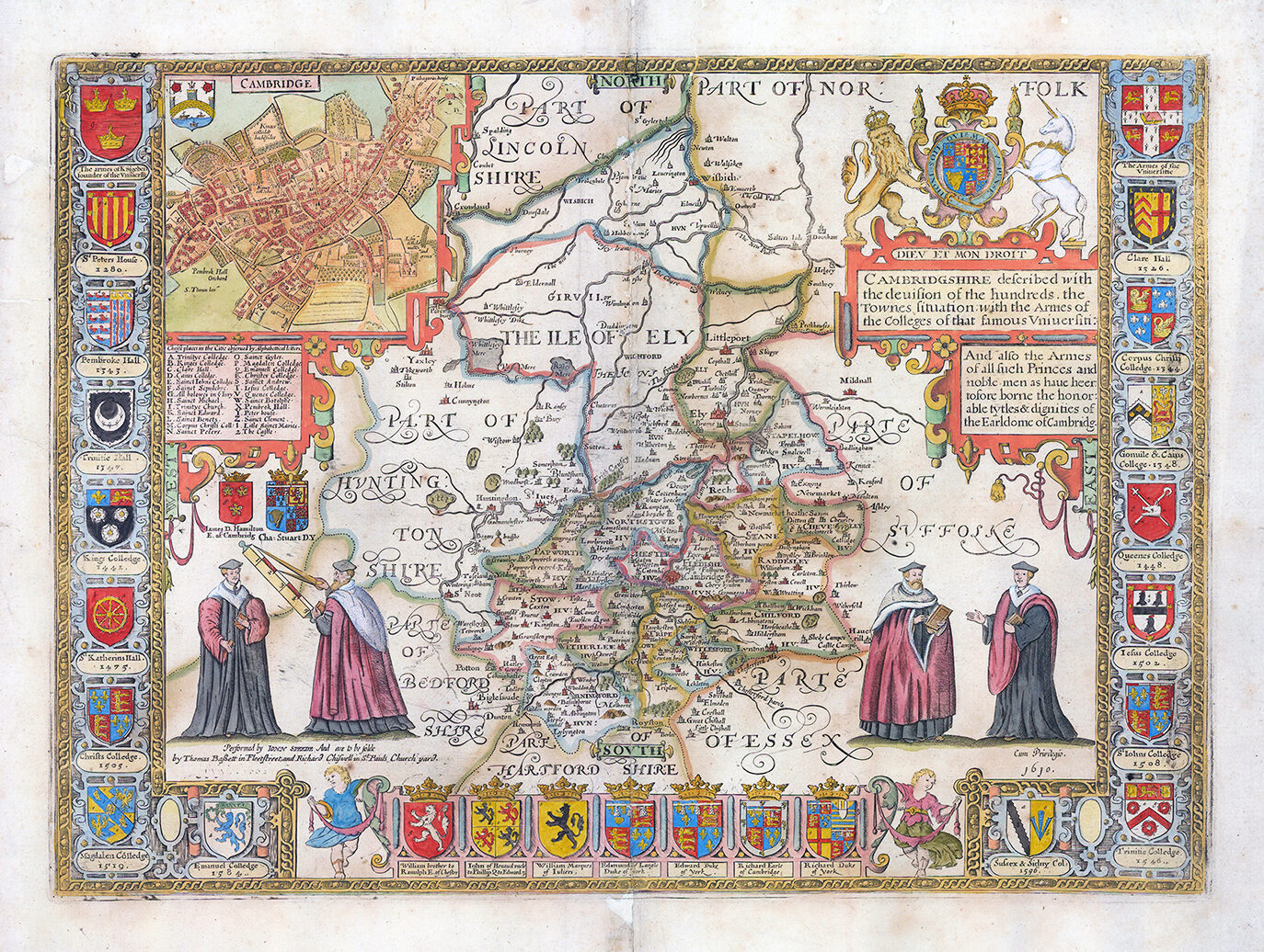
1676 "CAMBRIDGSHIRE DESCRIBED WITH THE DEVISION OF THE HUNDREDS WITH THE TOWNES SITUATION WITH THE ARMIES OF THE COLLEGES OF THAT FAMOUS UNIVERSIRTI".
A good example of this highly decorative map of Cambridgeshire by John Speed and published in his 'THEATRE OF THE EMPIRE OF GREAT BRITAINE" by Bassett & Chiswell in 1676. Strong reference is made to Cambridge’s renowned univerity with the (twenty five) armourials of the colleges and four scholarly figures. The ‘bird’s eye view’ plan of Cambridge, itself, is based on the one done by John Hammond in 1592.
Overall size approx 60.5cm x 46.5cm. Condition is presentable. This map has been professional restored and laid onto an archival backing paper. There are several areas where there surface splits which have been restored and re-coloured, mainly around the central fold and upper central margin areas. PRICED ACCORDINGLY.
John Speed (1552-1629) was born in the Cheshire village of Farndon and from his youth pursued his father’s profession of tailoring. He later moved to London to continue this trade, though Speed’s real passions lay elsewhere, namely in the fields of antiquity and cartography. He joined the Society of Antiquaries where his enthusiasm soon attracted the attention of notables such as William Camden and Sir Fulke Greville. In 1596 Greville provided Speed with a full time allowance to write a ‘Historie of Great Britaine’. It was during this project that Speed decided to add a cartographic supplement to the work and it was from this that his famous atlas, ‘The Theatre of the Empire of Great Britaine’, was born.
When published in 1611/12, his atlas was an immediate success, outdoing the one established by Christopher Saxton in 1579. There were a number reasons for this: Speed’s atlas showed each county separately with its hundreds, was resplendent with heraldic shields but most significantly had one or two town plans. Displayed from a bird’s eye view perspective, many of the towns were surveyed by Speed himself using a distinct ‘scale of paces’ and are the earliest known plans of these places. The aesthetic beauty of the maps were also down to the Dutch engraver, Jodocus Hondius, whose fine calligraphy and decorative strapwork are a feature throughout.
Speed’s legacy was to live on long after his passing, the ‘ Theatre’ itself was published in many editions until 1676. The maps were then re-published in the early 18th Century by Henry Overton and then finally in the 1780s by Dicey & co. giving them a life of 170 years.
£1,000.00