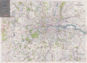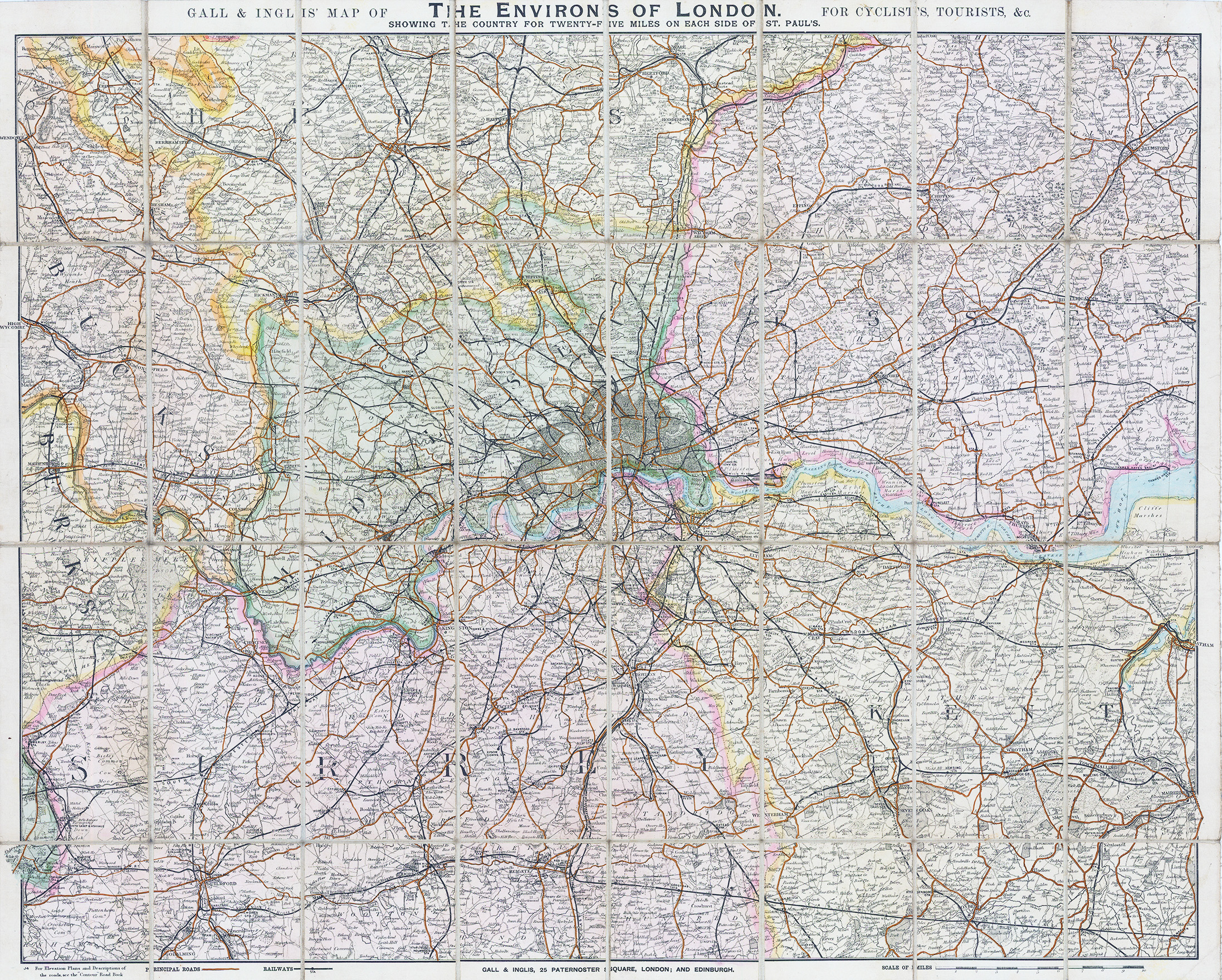
1895 "GALL & INGLIS' MAP OF THE ENVIRONS OF LONDON FOR CYCLISTS, TOURISTS, &c SHOWING THE COUNTRY FOR TWENTY FIVE MILES ON EACH SIDE OF ST. PAUL'S".
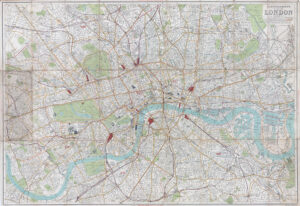
A fine large original antique folding map of london by GALL & INGLIS showing Principal Roads & Railway Lines, with original outline hand colouring. Dissected into 32 sections and laid to linen. Overall size approx 77.5 x 62.5cm.
£250.00