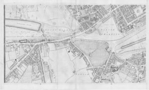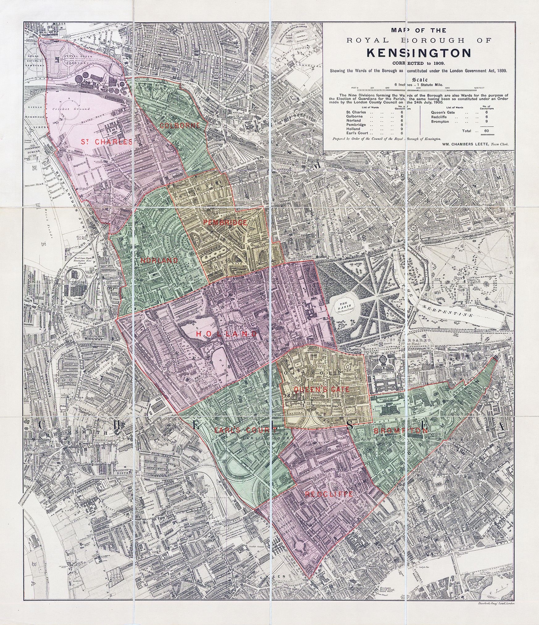
1909 "MAP OF THE ROYAL BOROUGH OF KENSINGTON CORRECTED to 1909 Showing the Wards of the Borough as constituted under the London Government Act, 1899"
A Fine original folding map, dissected into 12 sections and laid to linen. Published by Stanford's, London. The base map is a sectionof Edwad Weller's large map of London originally published in The Weekly Dispatch, 1861-1862. Prepared by Order of the Council of the Royal Borough of Kensington by William Chambers Leete (1857-1929) was the Town Clerk of the Vestry and later Royal Boroough of Kensington. Born in Chelsea, his parents were provision merchants. He was bought up in the family shop, but after his widowed mother died, he became a clerk in local government.
Condition is good. Overall size approx 53.5 x 61cm.
£450.00