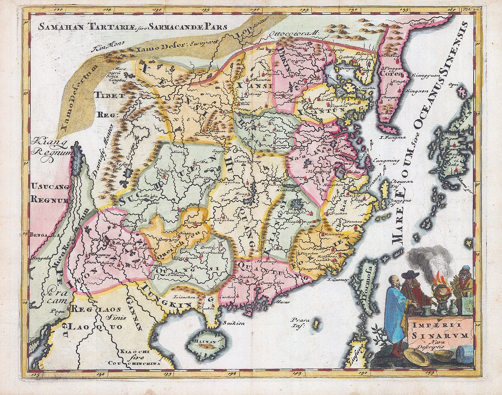
1697 - "IMPERIUM SINARUM NOVA DESCRIPTIO".
Detailed early map of China based on the important Martini/Blaeu map of the Chinese Empire. The Great Wall is depicted along the northern border. A large fictitious interior lake labeled Kia Lacus is the source of five large, southern rivers. The map extends to include Formosa, Korea and parts of Japan and Laos. The title cartouche depicts a Jesuit with a Chinese nobleman and warrior and a large incense pot. Map comes from Cluver’s atlas “Introductio in Universam Geographicam” published in London.
Size approximately 28.5 x 22.5cm.
Condition is excellent.
£140.00