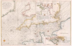
1794 Original Antique Huge 4 Sheet Map ENGLAND & WALES John Rocque
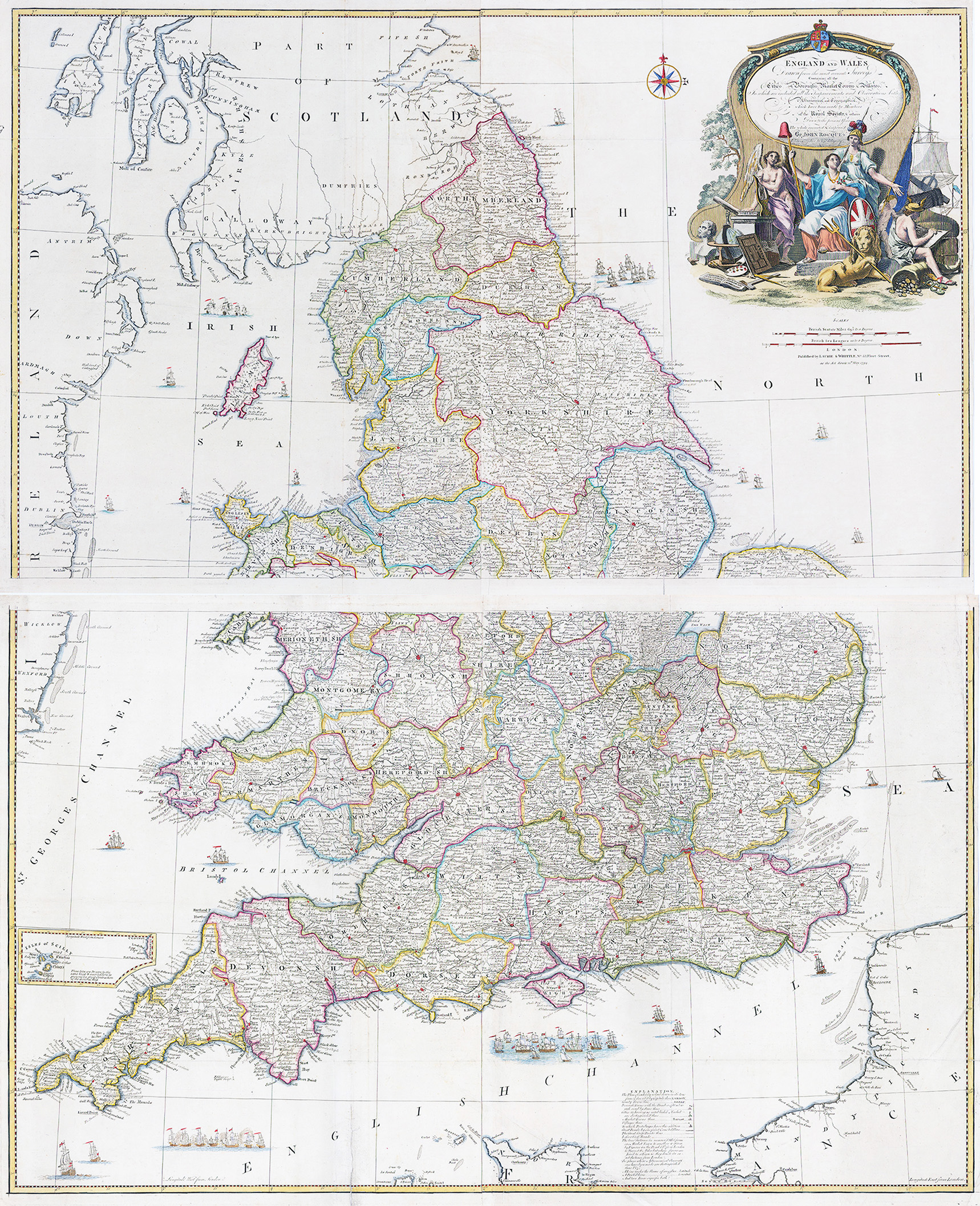
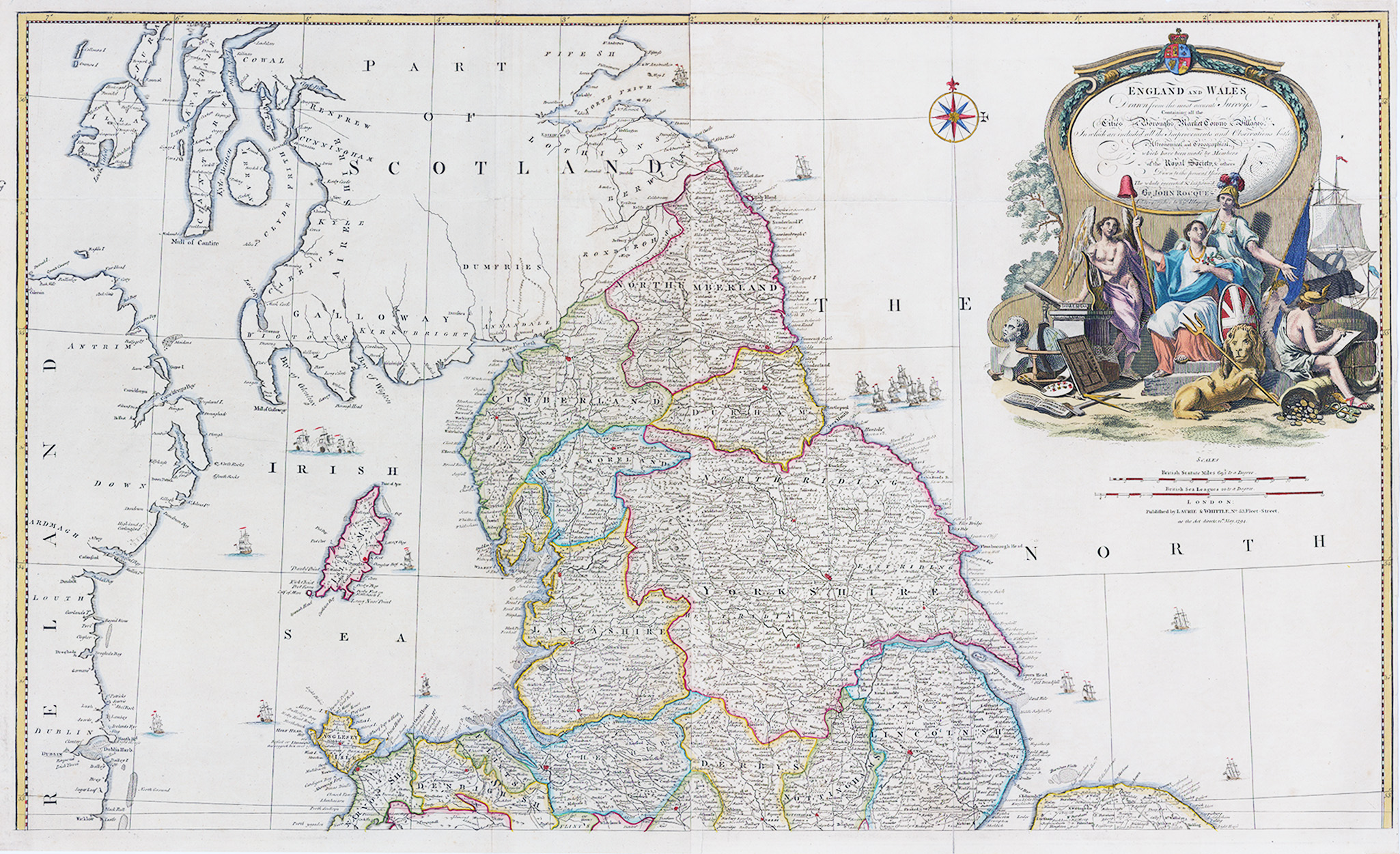
1794 “England and Wales Drawn from the most accurate Surveys-containing all the Cities, Boroughs, Market Towns and Villages; in which are included all the improvements and observations both astronomical and topographical, which have been made by members of the Royal Society & others. Down to the present year, the whole corected & improv'd by John Rocque, Chorographer to his Majesty”
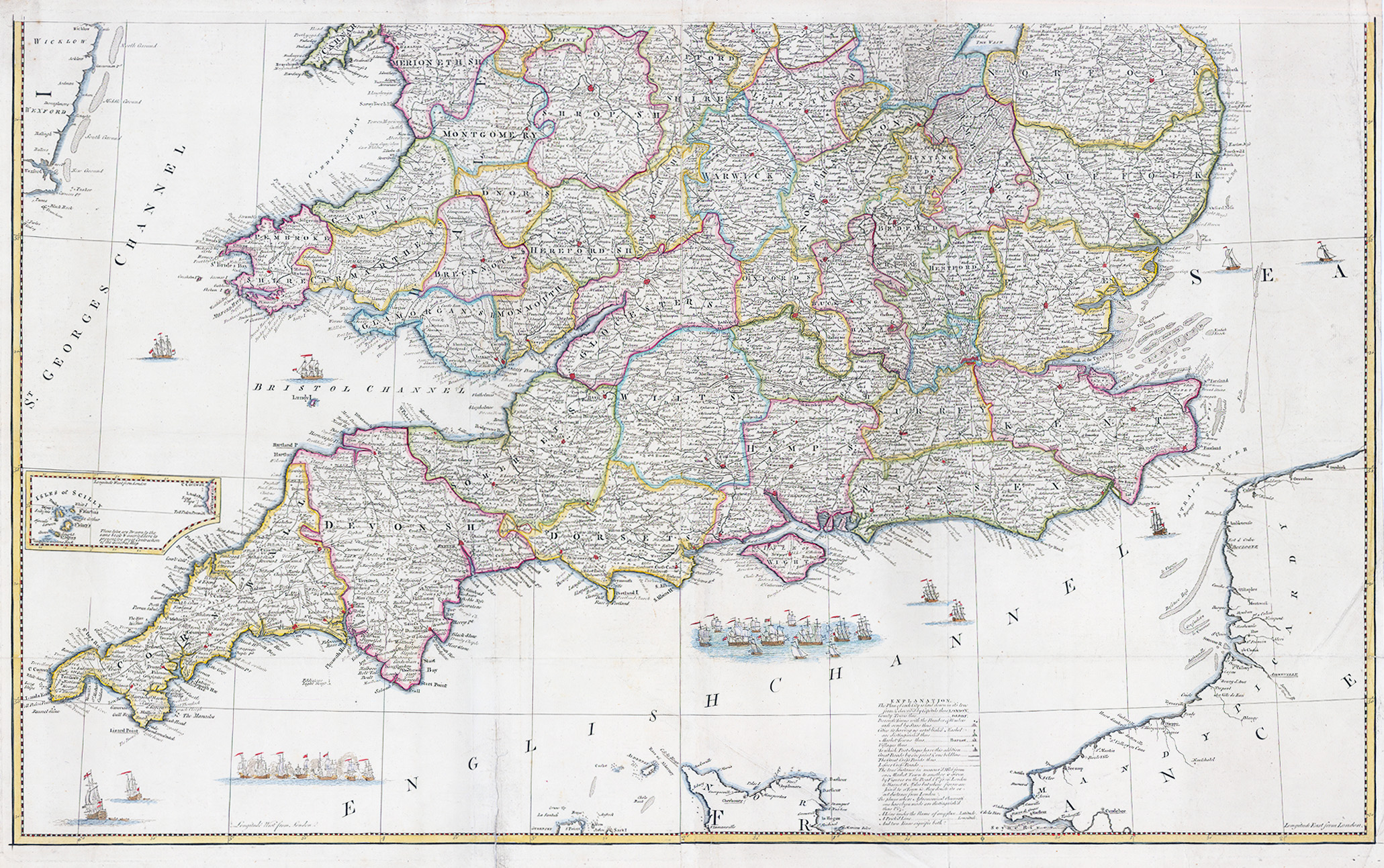
A lovely and clean example of John Rocque's monumental map of England and Wales, later published by Laurie & Whittle in 1794 as part of A General Atlas Describing the Whole Universe. The map was laid down in Rocque's cartographic style that was both rich with detail and surprisingly clean and easy to study. Many other map makers that would pack their works with as many place names and details would often become jumbled and indecipherable once completed. Rocque however utilised a variety of font styles and symbols which he describes in the lower right that make this map a pleasure to study.
The map is as decorative as it is informative with a large title cartouche in the top right that featured allegorical figures representing the artistic, scientific, and commercial accomplishments of the English. A large compass rose indicates north and is centred on the Prime Meridian or 0° longitude that runs through London, prior to being universally recognized in Greenwich in December of 1847. Lastly, sailing ships can be found throughout with a large fleet and battle scene depicted within the English Channel.
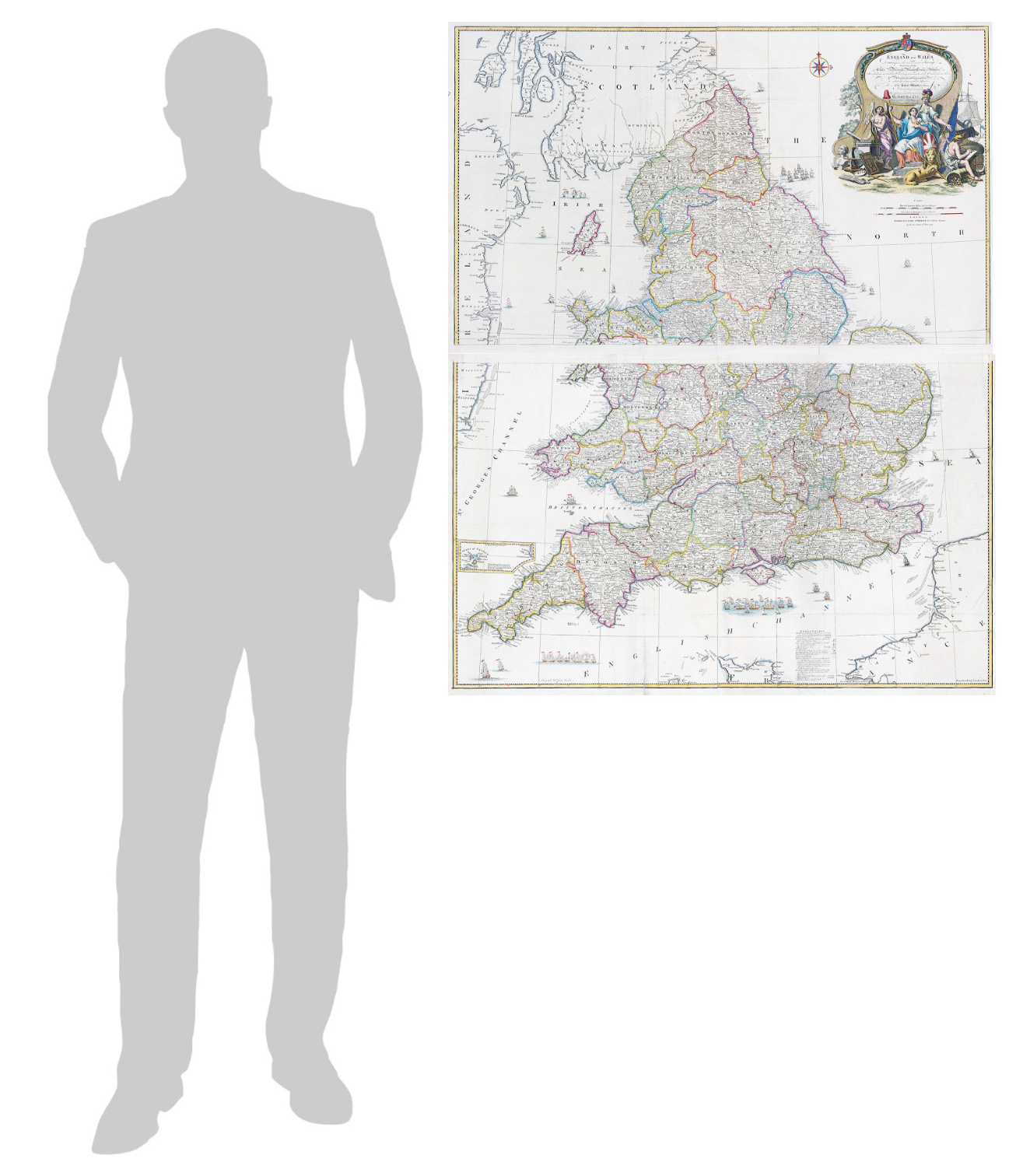
Condition is excellent with fine hand colouring. Overall size approx 101cm x 124cm.