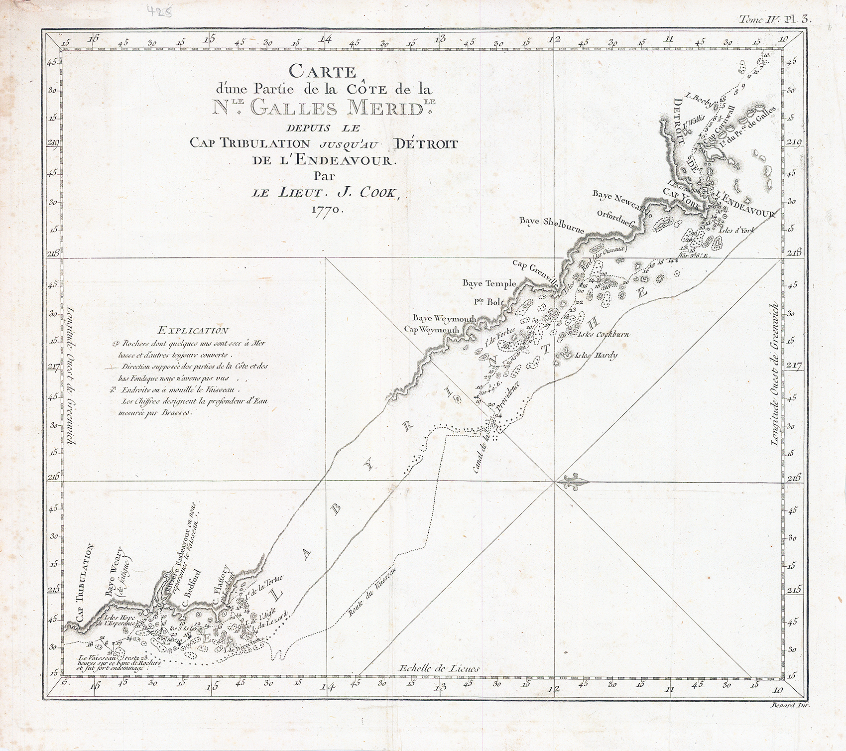
1774 - "CARTE D'UNE PARTIE DE LA COTE DE LA Nle. Galles. Meridle. depuis le Cap Tribulation jusqu'au au Detroit de l'Endeavour".
This is the 1774 first French edition of the first chart to detail the Great Barrier Reef, discovered by the legendary navigator James Cook during his first voyage aboard the H.M.S. Endeavor. This west-oriented charge captures the great explorer's difficult journey along the coast of Australia from Cape Tribulation to Cape York, during which he became the first European to navigate the Great Barrier Reef, which he tellingly named 'The Labyrinth'.
Overall size approximately 37cm x 33.3cm.
Condition is very good with central fold as issued.
£280.00