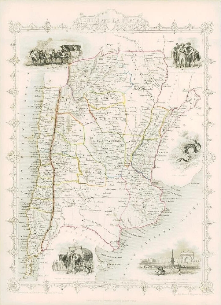
1851 - "CHILI AND LA PLATA"
Drawn and engraved by John Rapkin for "The Illustrated Atlas and Modern History of the World" by Martin Montgomery.
An attractive and decorative map of CHILE & LA PLATA with vignette engravings of WATER SELLER OF BUENOS AYRES, THE GRAND SQUARE BUENOS AYRES, THE GOBERNADOR & TRAVELLING POST.
Original outline hand colouring.
Generally fine condition and unfolded (from the rare 1st Issue).
Approximately 360mm x 280mm.
£80.00