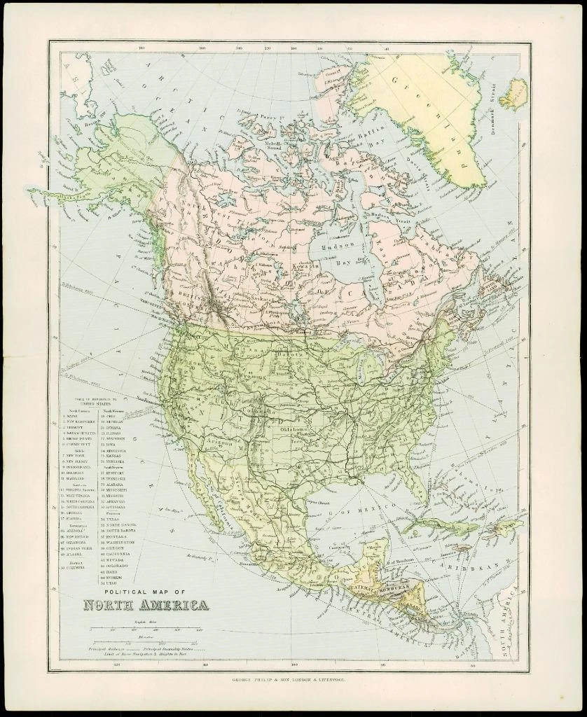
1900 - NORTH AMERICA
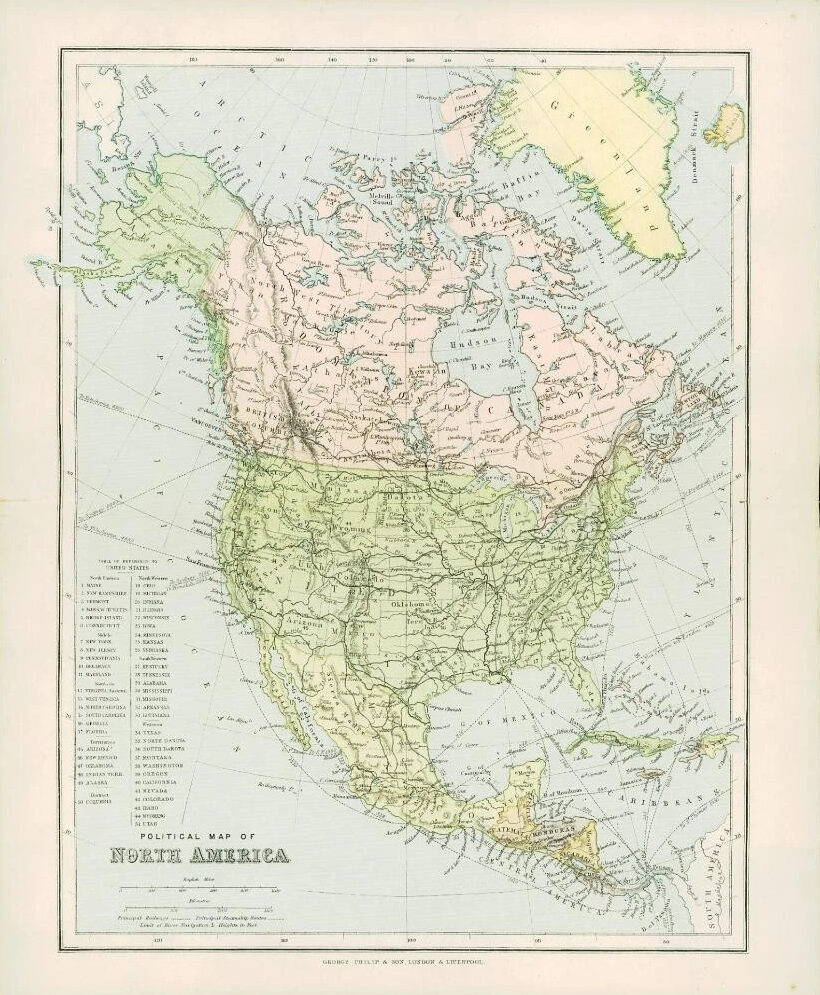
A lovely original antique Map titled: "POLITICAL MAP OF NORTH AMERICA"
Published by George Philip & Son in 1900 and taken from the PHILIPS' SELECT ATLAS OF PHYSICAL AND POLITICAL GEOGRAPHY.
Size overall approximately 27cm x 34cm including large margins and perfect for mounting and framing.
Condition is excellent with vibrant colours.
£26.40