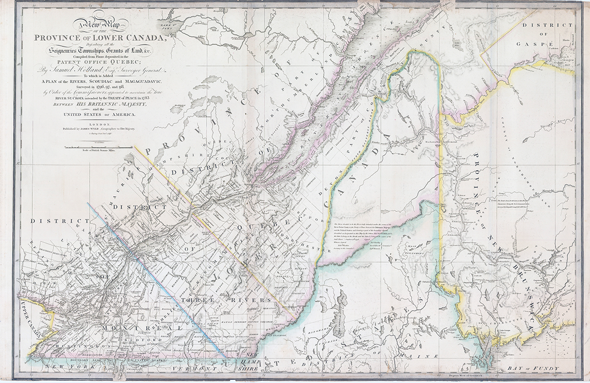
1838 - "A New Map of the Province of Lower Canada, Describing all the Seigneuries, Townships, Grants of Land...by Order of the Commissioners . . .".
Updated example of this important map of the Lower Province of Canada and Maine, first issued by Faden in 1813. The original Faden map included information concerning over 100 land grants on either side of the St. Lawrence River, including the names of land owners. Faden's orginal map showed the surveys conducted in 1796-98 along the Scoudiac and Magaguadavic Rivers, in order to ascertain the true location of the St. Croix River. In the present map, there is significant new information and topographical details, showing the remarkable advancement in the surveying of the region in the 12 years after the publication of Faden's map of 1813.
Overall size approximately 90.5cm x 50.5cm.
Condition is generally fine.
The top and bottom margins are tight in places.
This new addition includes the District of Maine, Moosehead Lake, Penobscot River, the Bowding County Township and Bingham's Purchase. Whereas the original Faden map had no topographical detail, the present map is a dramatic improvement. The second article of the Treaty of Peace between the US and Britain included the setting of the boundary between the two nations, " From the northwest angle of Nova Scotia, viz., that angle which is formed by a line drawn due north from the source of St. Croix River to the highlands . . ." It later became apparent that there was more than one St. Croix River. A further treaty provision in 1794 appointed a boundary commission which determined in 1798 that the intended St. Croix was the Scoudiac River and its northern branch Cheputnaticook. The Treaty of Ghent, concluded on December 24, 1814, agreed to provide for a final adjustment of the boundaries described in the Treaty of 1783 that had not yet been determined, which included the boundary line from the source of the River St. Croix to the most northwestern point of the Lake of the Woods. A further commission was appointed to settle the boundary from the St. Croix River to the St. Lawrence. Joseph Bouchette and John Lawrence were hired to conduct the surveys and submit the reports for resolution to a third nation. Ultimately, the issue was resolved by the Webster-Ashburton Treaty of 1842. The present map shows the two boundary claims at a time when they were not yet fully resolved.
£495.00