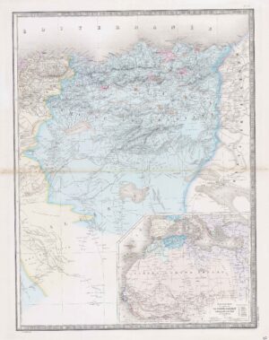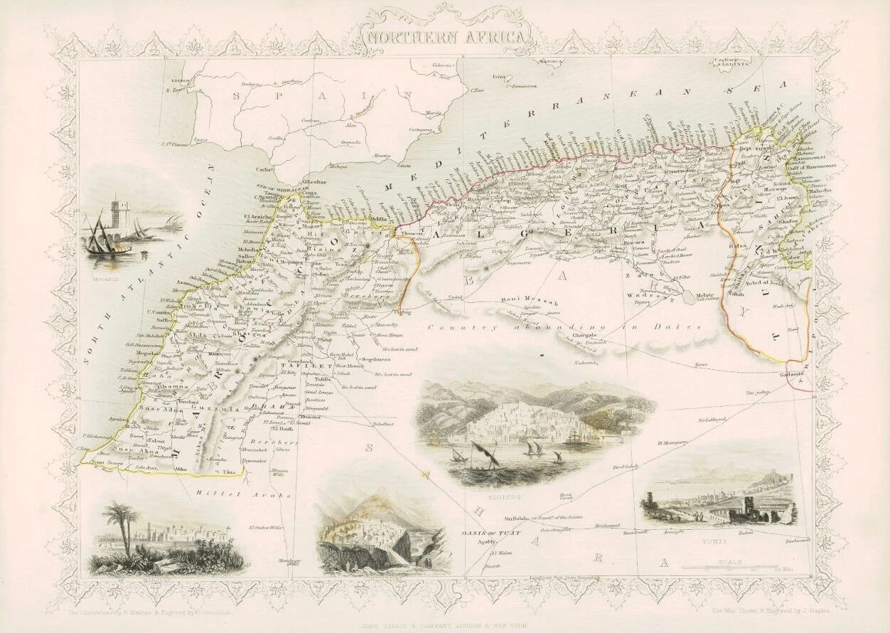
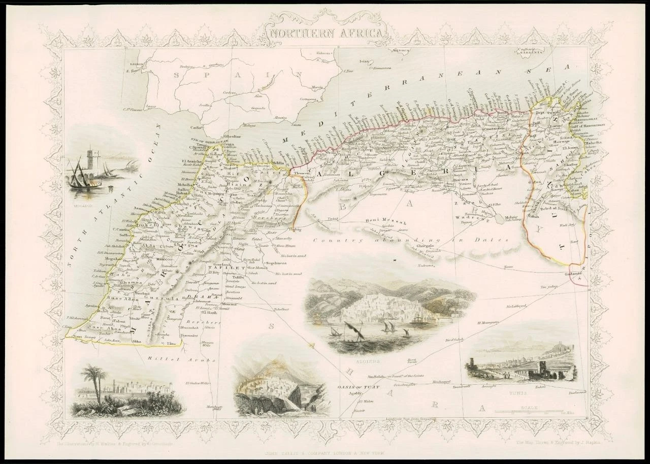
1851 - "NORTHERN AFRICA"
Drawn and engraved by John Rapkin for "The Illustrated Atlas and Modern History of the World" by Martin Montgomery.
An attractive and decorative map of NORTHERN AFRICA with vignette engravings of MOGADOR, MOROCCO, CONSTANTINE, ALGIERS & TUNIS.
Original outline hand colouring. Generally fine condition & unfolded (from the rare 1st Issue).
Approximately 360mm x 280mm and printed on heavy grade paper.
Perfect for mounting and framing.
£52.80