1893 - "MAP OF THE ANGLO PORTUGUESE BOUNDARY IN EAST AFRICA"
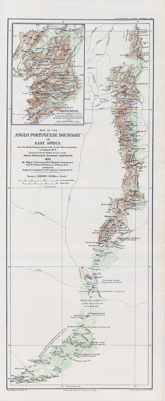
This is a very scarce 1893 George Philip map of the border between British and Portuguese Central East Africa decided upon in the Anglo-Portuguese Treaty of 1891. Depicting the border as it was surveyed by the Anglo-Portuguese Delimination Commission in 1892, innumerable rivers, mountain peaks, and roads are identified. Green is used to highlight areas of trees and brush, while brown marks the spine of mountains that forms part of the newly designated border. Notes provide commentary on the terrain, water supply, vegetation and animal life.
This map was created by George Philip and published by the Royal Geographical Society in the December 1893 edition of The Geographical Journal. One example is catalogued in the OCLC and it is part of the institutional collection at the British Library.
Condition is excellent with several folds as issued.
Size approximately 54cm x 22.5cm.
£275.00