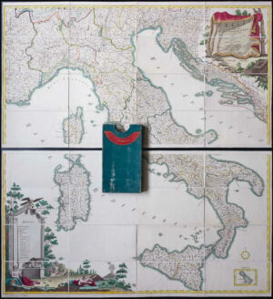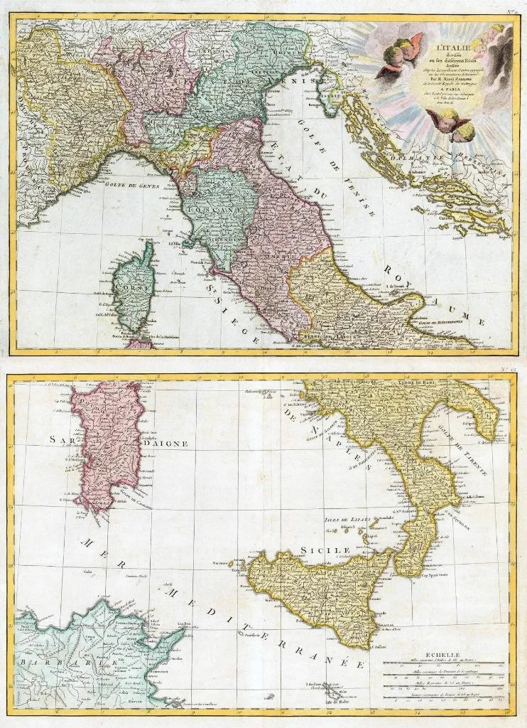
1785 - A fine and very rare original antique pair of maps titled: ' L'ITALIE divisee en fes differens Etats dressee '
A highly detailed and decorative pair of Maps by Rizzi Zannoni. The upper sheet covers from Lake Geneva and the Venetian States south to include Rome, Corsica and Capitana. It also includes the Gulf of Venice and the states of Dalmatia, Herzegovina and Murlaka. A large decorative cartouche featuring solar rays and numerous putti (little cherubs) appear in the upper right corner. The lower sheet covers from Naples south to include Sicily, Malta, Sardinia and parts of Tunisia and Algeria in North Africa. This map shows the Italian peninsula prior to its struggle for national solidarity which would emerge as a movement about 50 years in the early 19th century. The peninsula is divided into numerous independent states, duchies, republics, kingdons and Papal States.
Overall size of each map is 48cm x 35cm with large margins, perfect for mounting & framing
CONDITION: Excellent overall condition with hand colouring and the centrefold, as issued. Blank on verso.
£330.00