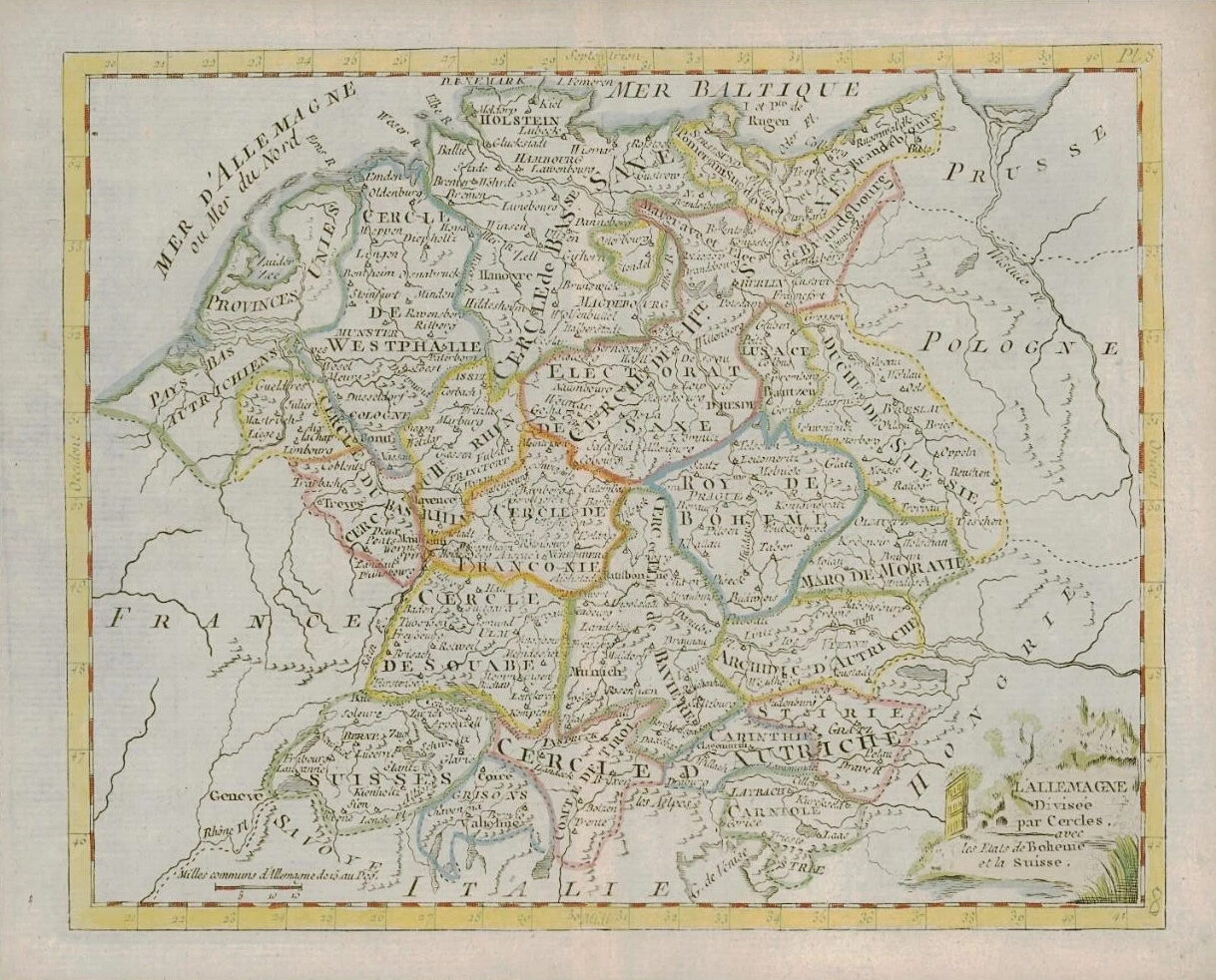
1787 - A fine antique map titled: ' L'ALLEMAGNE Divisee par Cercles avec les Etats de Boheme et la Suisse '
A beautiful 1787 example of the Louis Brion de la Tour decorative map of the region of Germany showing the borders to Austria, Switzerland, Poland, Italy and France.
Published for "Atlas ou Collection de cartes Geographiques pour l'intelligence du voyageur francois" published by Joseph de Laporte.
Overall size of the map is 25cm x 20cm with large margins and central fold as issued.
£38.50