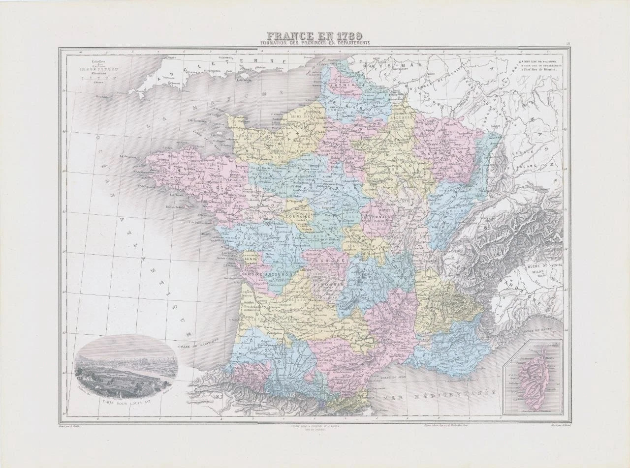
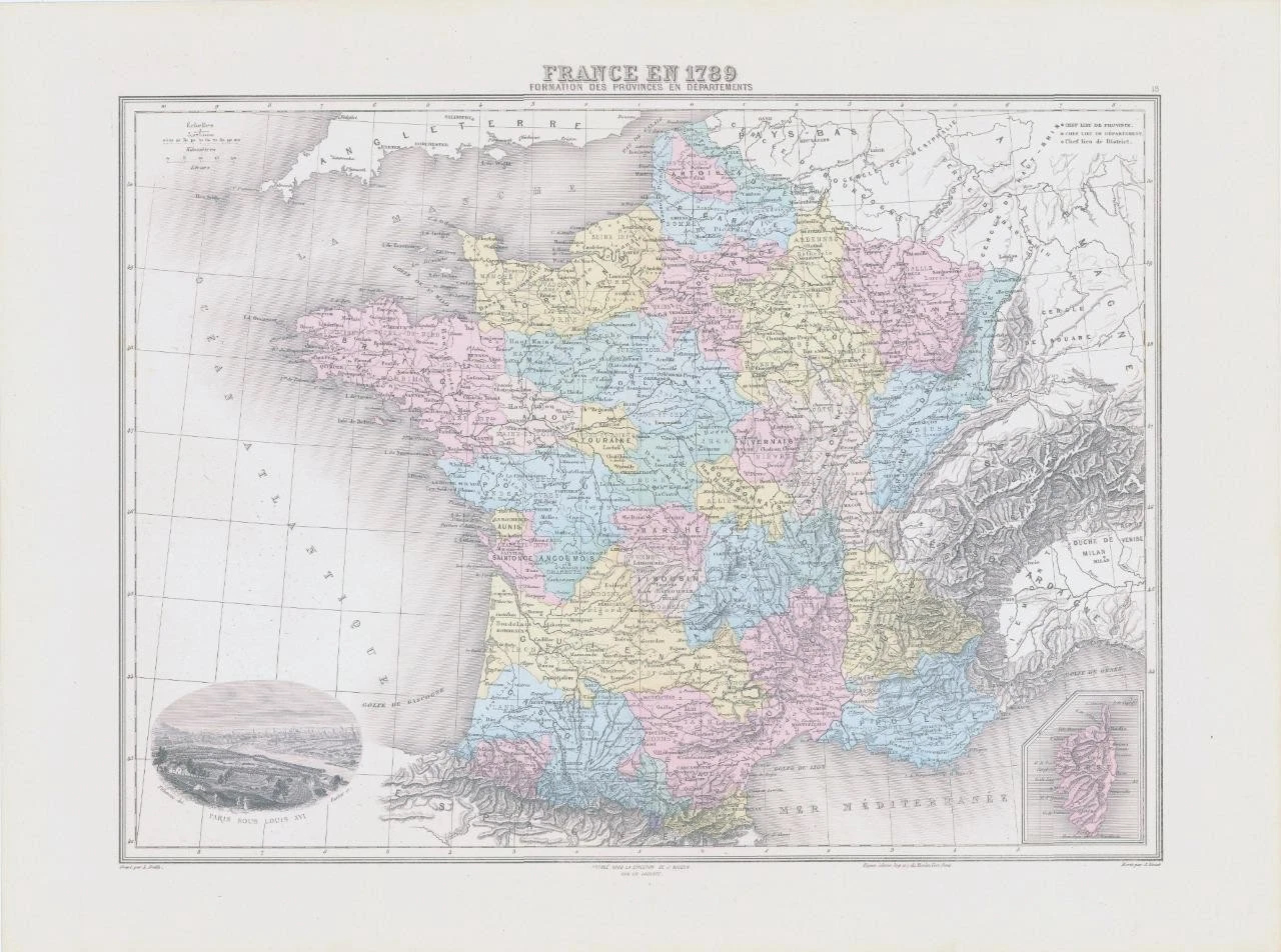
1892 - Large original colour map titled:" FRANCE EN 1789 FORMATION DES PROVINCES EN DEPARTMENTS "
A fine colour map showing FRANCE IN 1789. With a vignette view of
PARIS SOUS LOUIS XVI.
Provenance: Taken from ' NOUVEL ATLAS ILLUSTRE Geographie Universelle ' published by Direction Et Administration, 11, Rue du Moulin-Vert, Paris, 1892.
Excellent condition with central fold as issued.
Size of map approximately 52cm x 39cm (20.5in x 15.5in) including margins.
£28.00