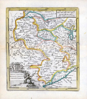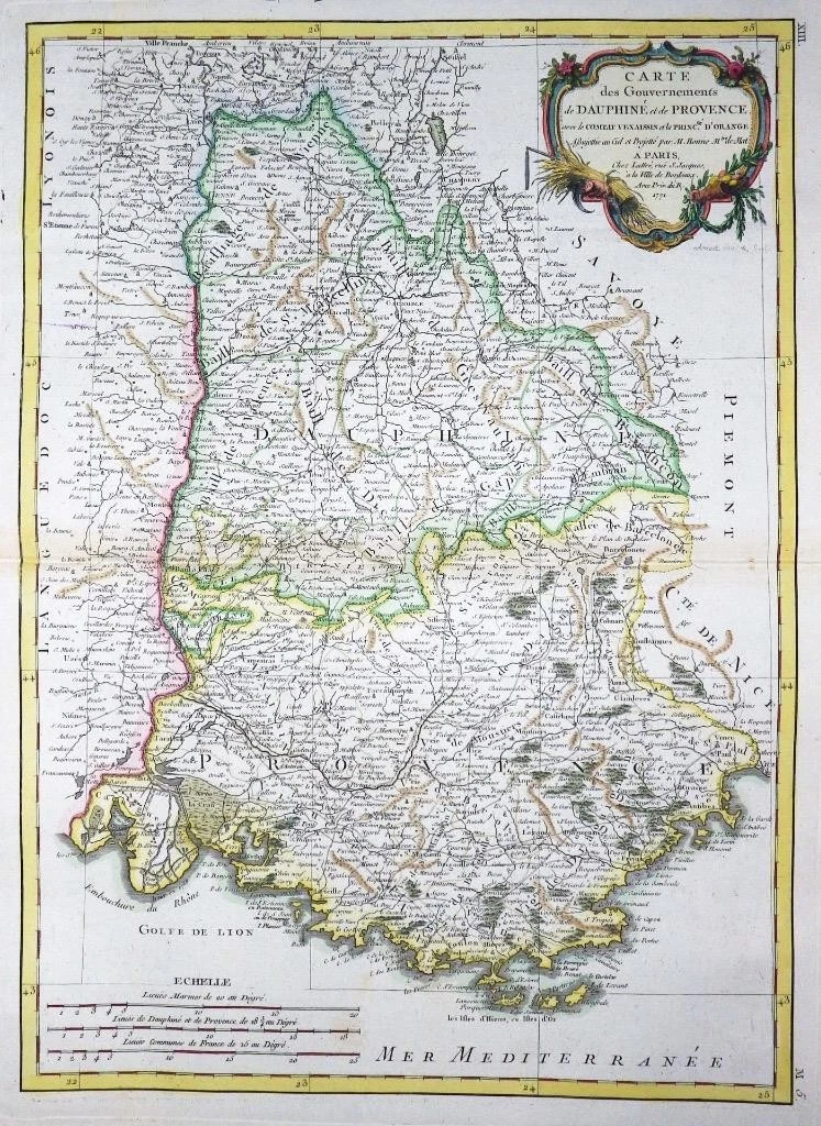
1771 - A fine and rare original antique map titled: ' Carte du Gouvernments de DAUPHINE et de PROVENCE '
Provenance: Taken from "Atlas Moderne ou collection de Cartes sur toutes les parties du Glove Terrestre" by Jean Lattre. Overall size of the map is 51cm x 39cm with large margins. Condition is excellent with original and later hand colour, with central fold as issued and blank on verso.
A beautiful example of Rigobert Bonne's 1771 decorative map of the French winemaking region of Champagne and the cheese making region of Brie. Covers the departments of Champagne and Brie from Picardie to Franche and from Isle de France to the Duchy of Luxembourg. This region is well known throughout the world for is production of namesake Champagne and Brie.
Champagne is famous around the world for its spectacular sparkling wines of the same name. Historically the province of Champagne was bounded on the north by the bishopric of Liège and by Luxembourg, on the east by Lorraine, on the south by Burgundy, and on the west by Îlele-de-France, and by Picardy.
A large decorative title cartouche appears in the top right quadrant.
£75.00