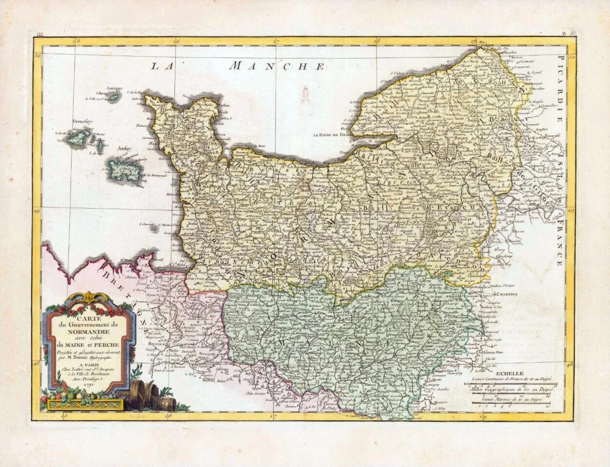
1771 - A fine and rare original antique maps titled: ' Carte du Gouvernement de Normandie avec celui de Maine et Perche.... '
A beautiful example of Rigobert Bonne's decorative map of Normandy showing from Bretagne eastward as far as Picardie. Includes the Channel Islands of Guernsey & Jersey. The region is home of Camembert. The region of Calvados is known for the world's finest apple brandy.
Overall size of map is 47cm x 36cm with large margins, perfect for mounting and framing.
Excellent overall condition with hand colouring and the centrefold, as issued with some age toning. Blank on verso.
£135.00