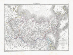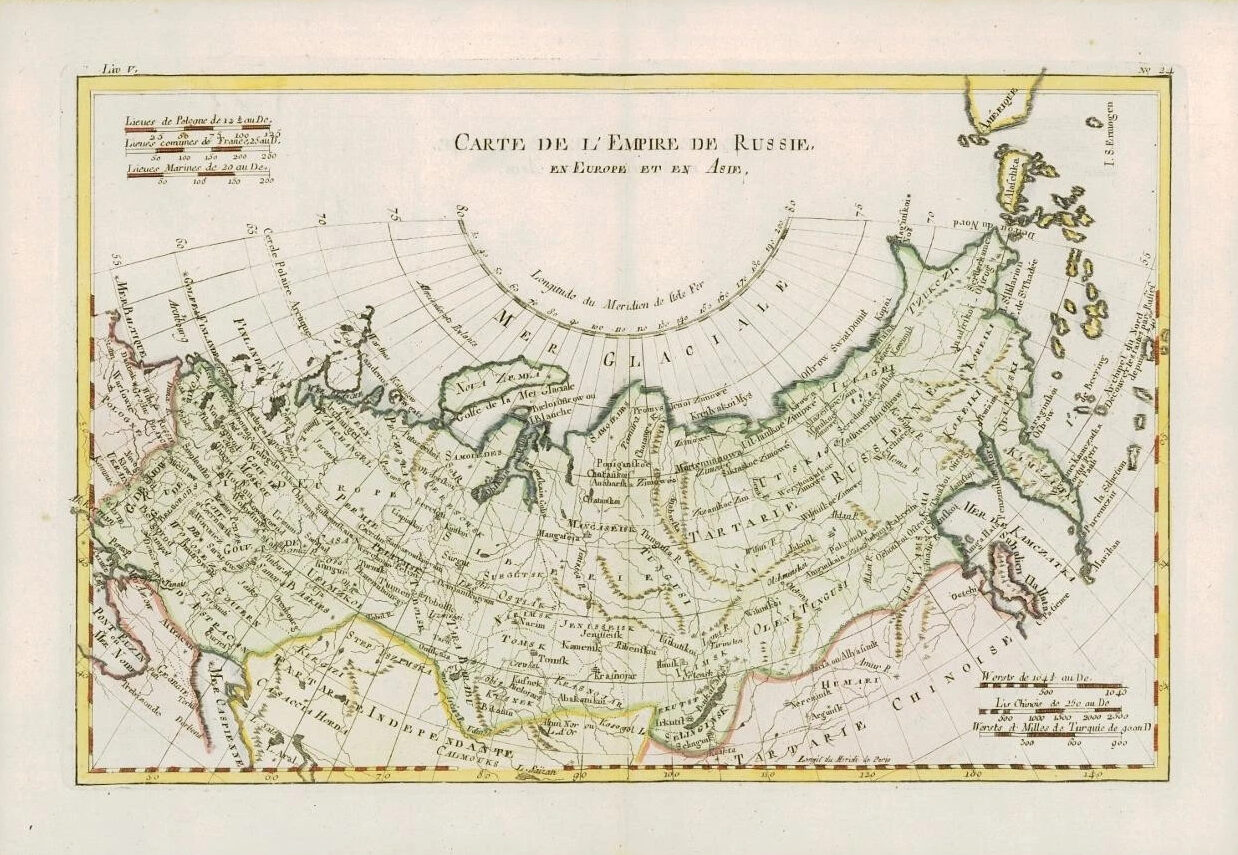
1780 - A fine map by Rigobert Bonne & Guillaume Thomas Raynal titled: 'CARTE DE L'EMPIRE DE RUSSIE EN EURPE ET EN ASIE'
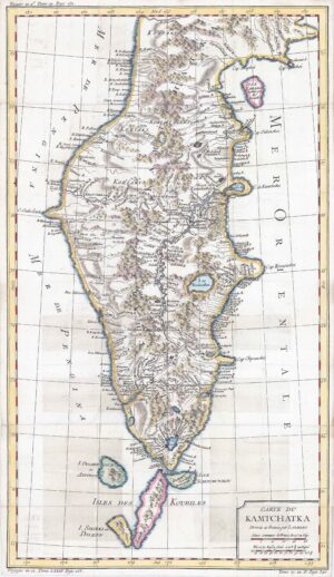
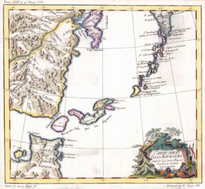
A fine example of Rigobert Bonne and Guillaume Raynal's 1780 map of the Russian Empire. Shows entire Russian Empire stretching from Europe to the Behring Strait, as well as parts of Eastern Europe and Tartary. Cartographically the Northeast coast of Russia is quite accurate though adjacent lands in the Americas are speculative a best. A number of mysterious islands are named, likely a very early perspective on the Aleutian Archipelago. Highly detailed, showing towns, rivers, some topographical features, important roadways and political boundaries.
PROVENANCE: Drawn by R.Bonne for G.Raynal's "ATLAS DE TOUTES LES PARTIES CONNUES DU GLOBE TERRESTRE, DRESSE POUR l'HISTOIRE PHILOSOPHIQUE ET POLITIQUE DES ETABLISSEMENTS ET DU COMMERCE DES EUROPEENS DANS LES DEUX INDES"
Overall size of map is 37cm x 25cm with large margins, perfect for mounting & framing
Excellent overall condition with hand colouring and the usual centrefold, as issued. Blank on verso.
£90.00