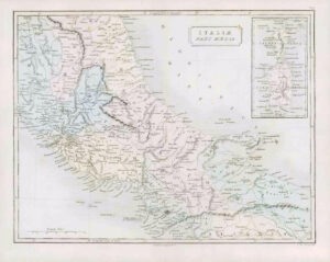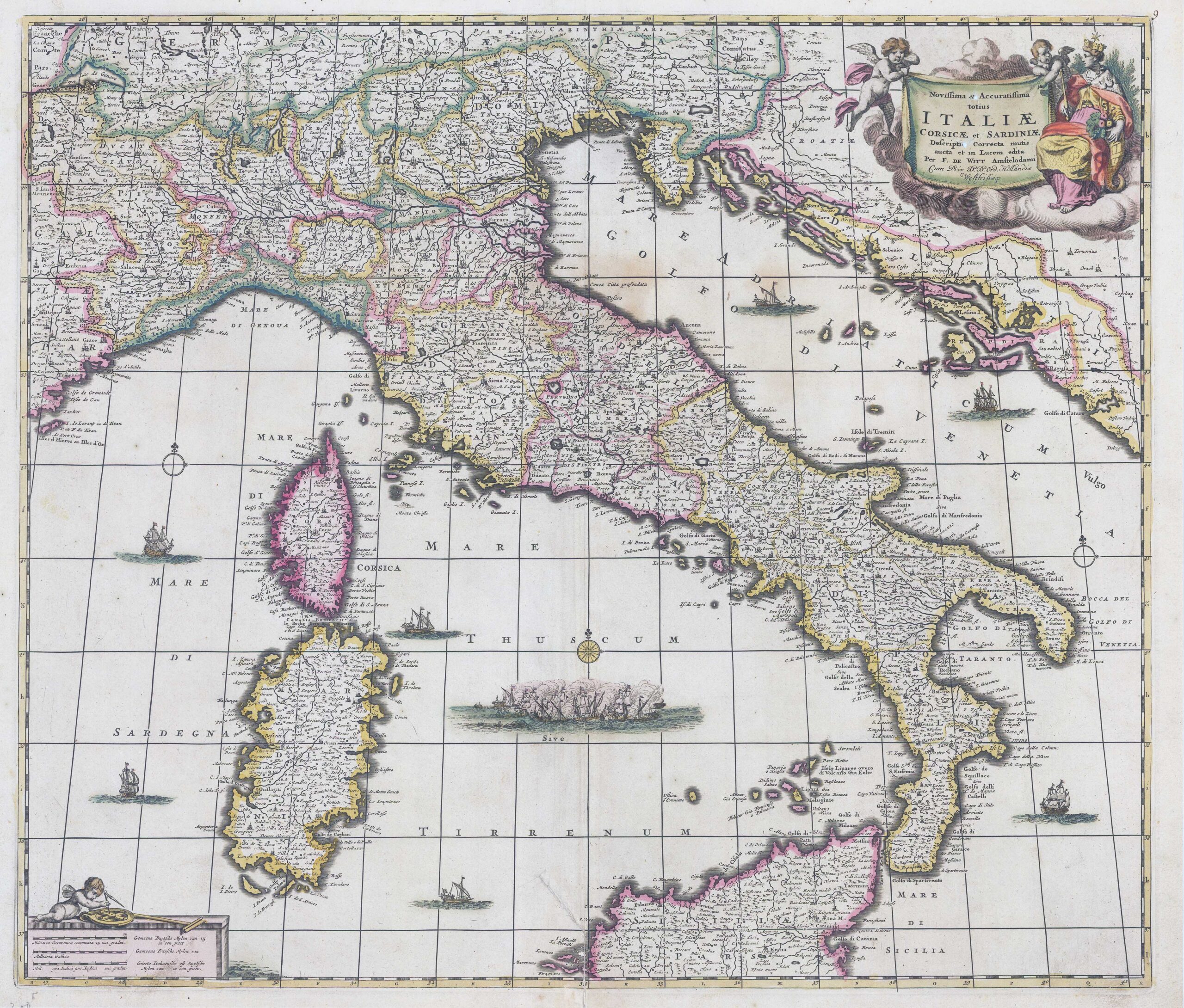
c1680 - Original antique map titled: "Novissima et Accuratissima totius ITALIAE CORSICAE ET SARDINIAE Descriptio corrects mutis aucta et in Lucem edita per F. De Witt...." by Frederick de Witt.
A good collectable example of this map of Italy extends to include Corsica and Sardinia in the west and through the Dalmatian coast, much of which was controlled by the Republic of Venice. The map is filled with information on the cities and towns and is beautifully ornamented with putti and Europa in the title cartouche and sailing ships and a raging sea battle filling the seas.
Measures approximately 59.5cm x 51cm including margins.
Central fold as issued.
Condition is acceptable and is a good collectable example of this map. There is a repaired tear to the bottom central fold and the Cartouche Title has two small missing holes which has been backed with age-appropriate paper.
De Wit (1629 ca.-1706) was a mapmaker and mapseller who was born in Gouda but who worked and died in Amsterdam. He moved to the city in 1648, where he opened a printing operation under the name of The Three Crabs; later, he changed the name of his shop to The White Chart. From the 1660s onward, he published atlases with a variety of maps; he is best known for these atlases and his Dutch town maps. After Frederik’s death in 1706, his wife Maria ran the shop for four years before selling it. Their son, Franciscus, was a stockfish merchant and had no interest in the map shop. At the auction to liquidate the de Wit stock, most of the plates went to Pieter Mortier, whose firm eventually became Covens & Mortier, one of the biggest cartography houses of the eighteenth century.
£330.00